FOREST BATHS
Amongst the footprints of history in the Vall del Corb
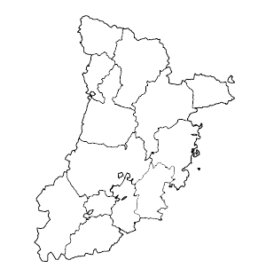
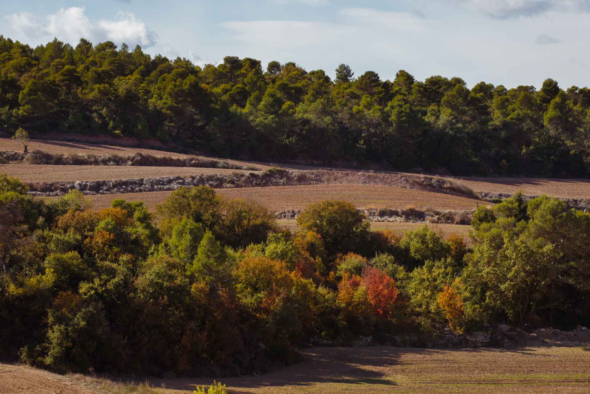
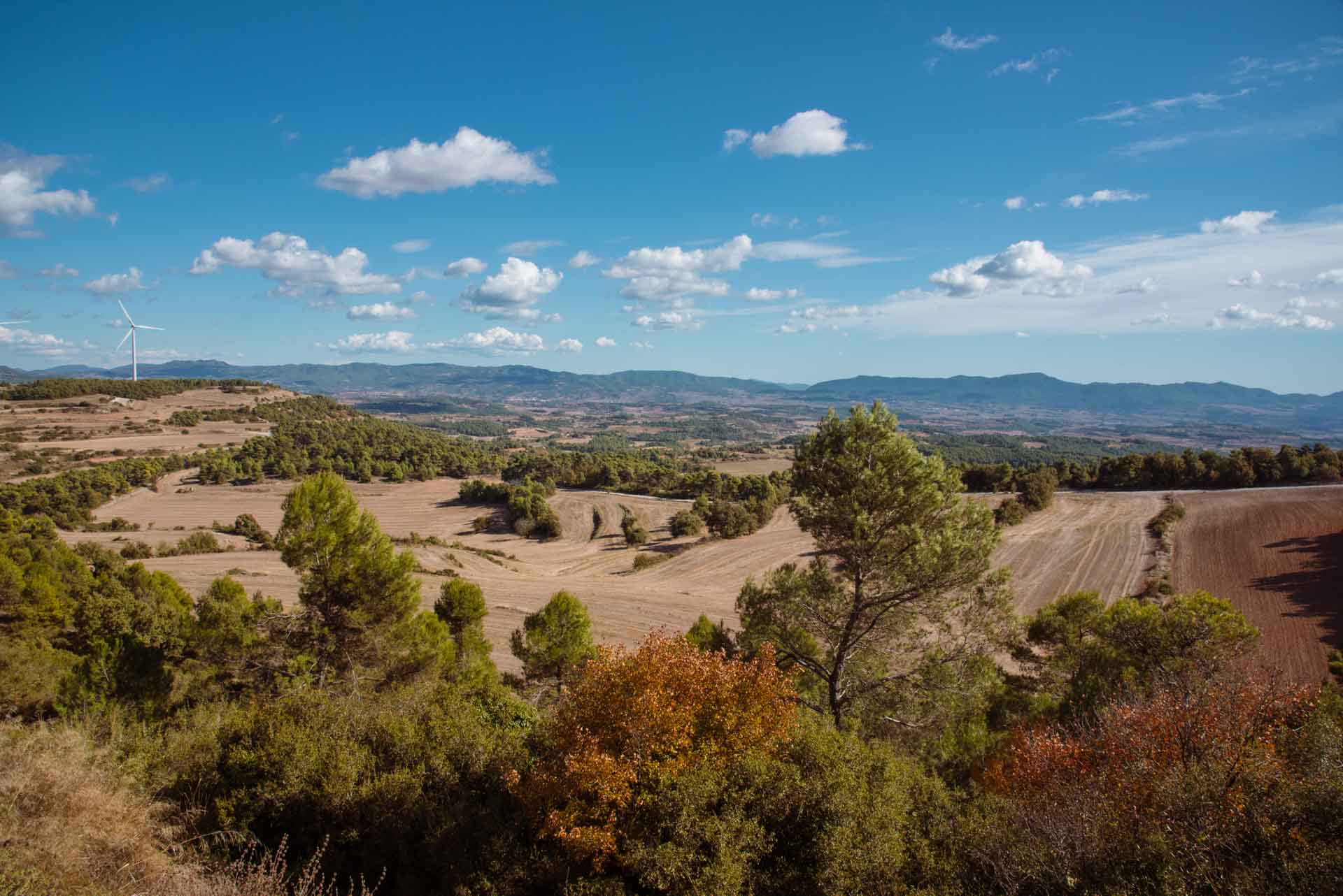
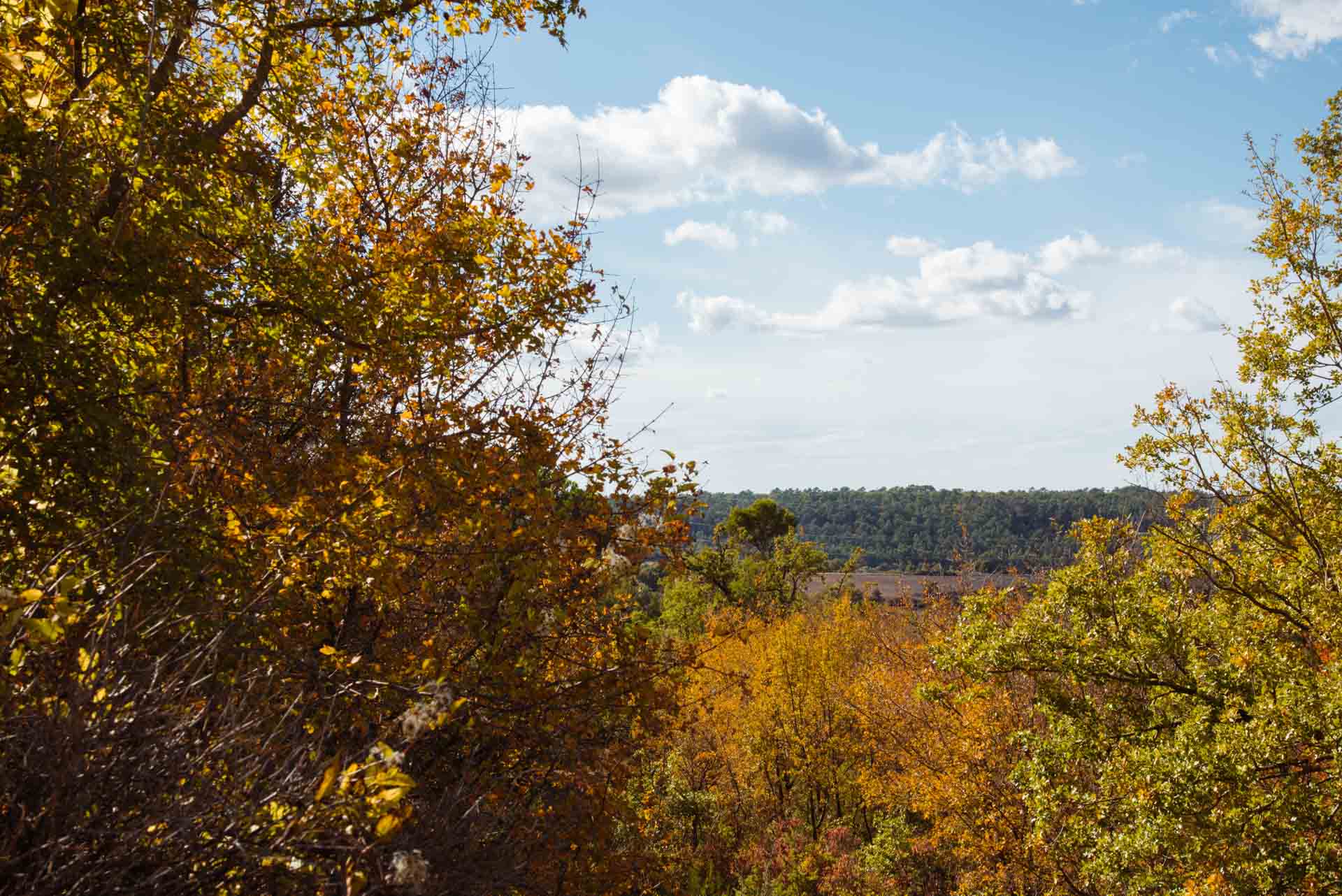
This comarca (local district) is located in the Central Catalan Depression, in the heart of the lands of Western Catalonia, and stands at an average altitude of 350 metres, in an area which has been optimal for agriculture since the construction of the Canal d’Urgell. This applies not only to L’Urgell, but also to El Segrià, because this infrastructure converted what had previously been drylands into a great expanse of fertile land. Despite the impact of this monumental work, in L’Urgell, it is possible to highlight four types of landscape: those of the Urgell plain, La Ribera de Sió, the Conca de l’Ondara and the Vall del Corb. Due to its location, L’Urgell is an area that has been populated since ancient times and the human footprint is present throughout the territory. However, manmade landscapes can generate rich and fertile environments which give rise to beautiful, and well-cared for, areas of fruit-tree and cereal crops, which offer a rich diversity of scenery that varies according to the time of year. The periods in which the trees flower, when the straw is baled, and when these bales decorate the golden fields are all good examples of this.
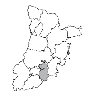
The Vall del Corb has received its name from the River Corb (a tributary of the Segre), a river that has left a deep mark on the villages of the valley and the local landscape. Although this is a relatively calm river, it is known for its rapids which, when they suddenly appear, can show the fury that the river can unleash and leave the landscape totally modified, wherever it passes. As previously stated, this is a valley that has been populated since the 5th century BCE and whose history has left numerous footprints that tell us about its past.
You must head towards this part of the comarca to find the forested area recommended for forest bathing. First, it is necessary to go to Rocallaura, which is a settlement that belongs to the municipality of Vallbona de les Monges. From the C-14 you can get there by following the LP-2335. At this location, the road follows the course of the Maldanell stream, which drains the River Corb, at Maldà, which is 16 kilometres from Rocallaura. In this area, there are also phreatic waters and the waters of the Balneari de Rocallaura spa are well-known for their medicinal properties.
The space for forest bathing
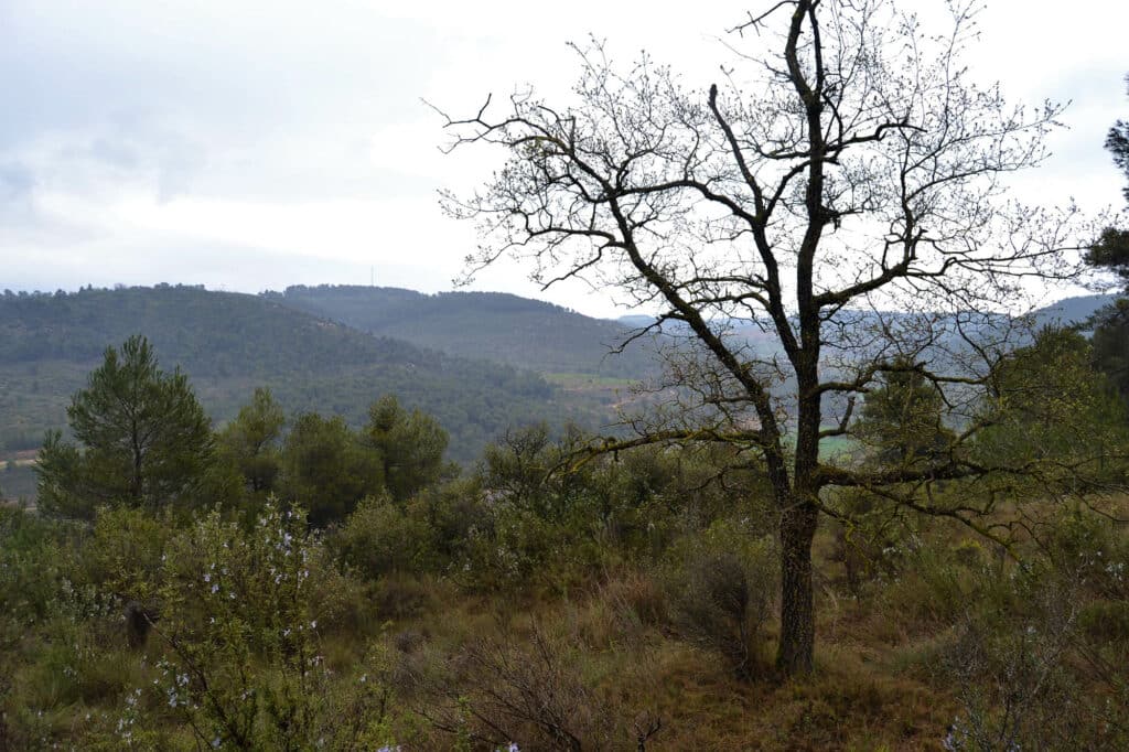
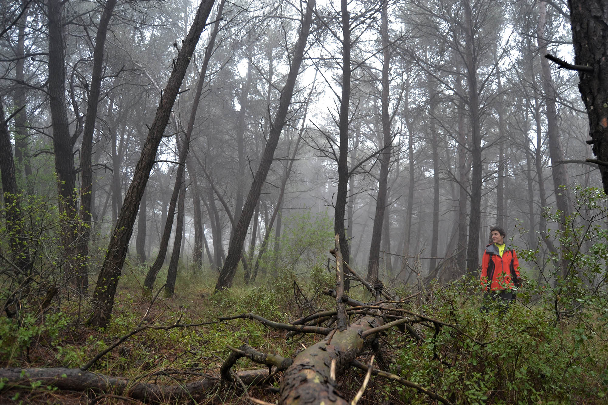
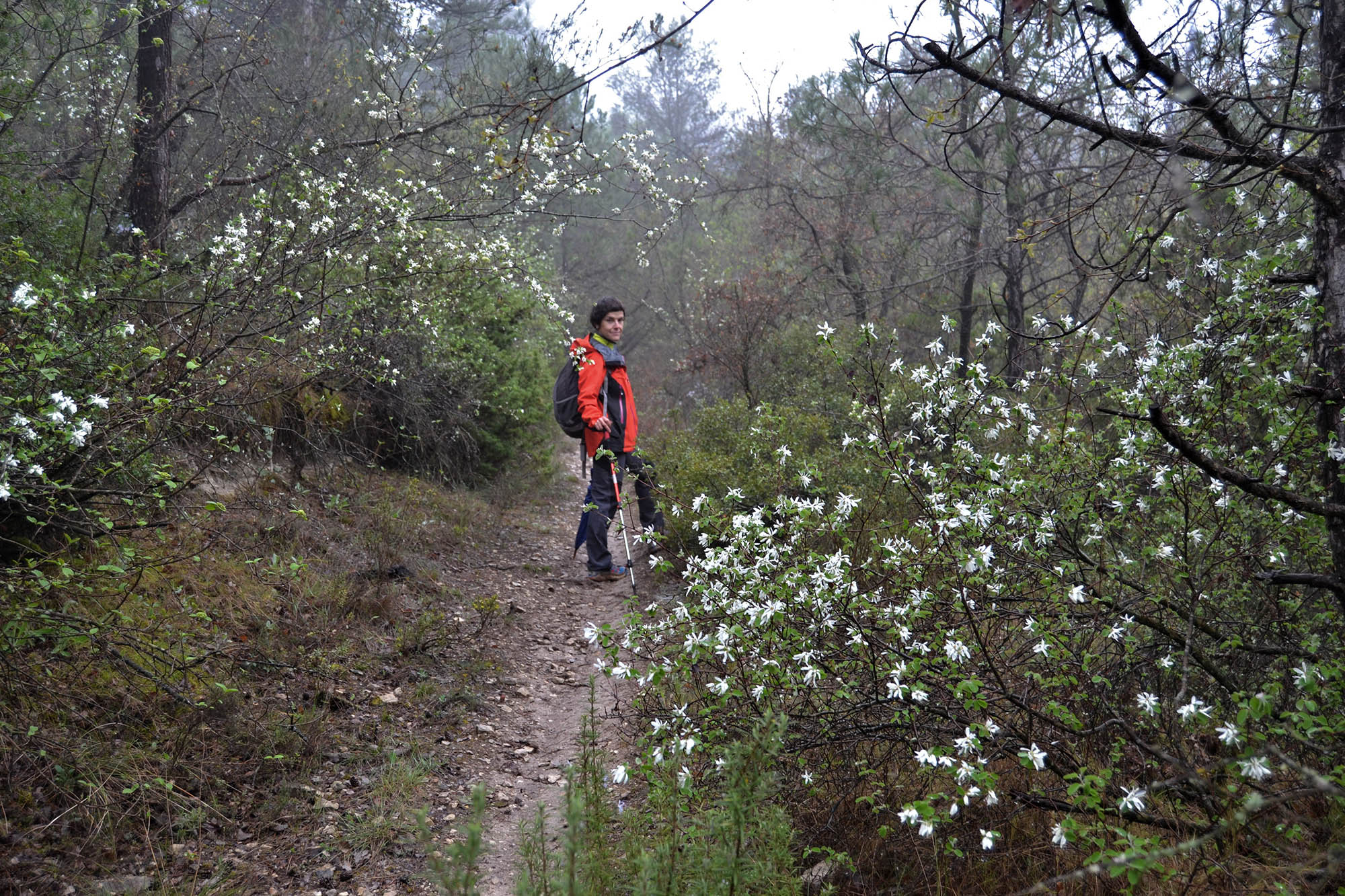
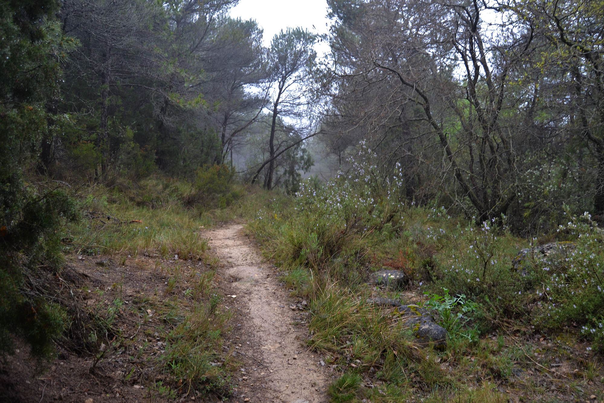
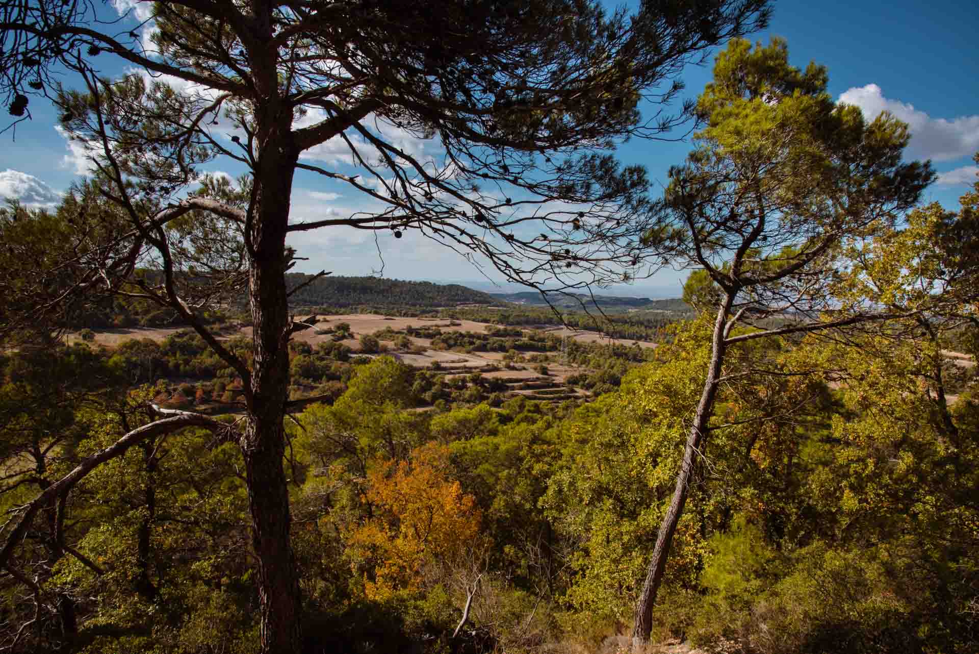
Head for the village of Rocallaura, following signs towards for the centre of the village. You can then park your car once you have passed the first few houses; you will find a small square on your right. From here, continue to the Plaça de la Vila square (which contains the only bar in the village) and then follow Carrer d’en Prat de la Riba to the intersection with Camí de l’Horta (which runs off down to your right). You must then follow this road. When you come to the wall of a building, turn left and follow a dirt track until you get to the LP-2335. You must then cross this road and continue on towards the right (taking care with the vehicles!) for about 100m. You will then find a dirt track, on your left, which leads downhill; follow it for around 550m. You must pay special attention as there is little or no signage. Along this first part of the walk, it is possible to observe the interaction between the landscape influenced by man, with some cereal fields, terraces, and stone walls, and the combined action of sedimentation (due to torrential rains, violent events that have destroyed terrain and made the river rise, lack of rainfall, phreatic waters, etc.) which has changed the course of rivers and modified the local terrain.
As already stated, after about 550m, just after a curve on the right, it is necessary to take a small path that leads uphill, to the right. Take care because it is rather hidden and there is no signage.
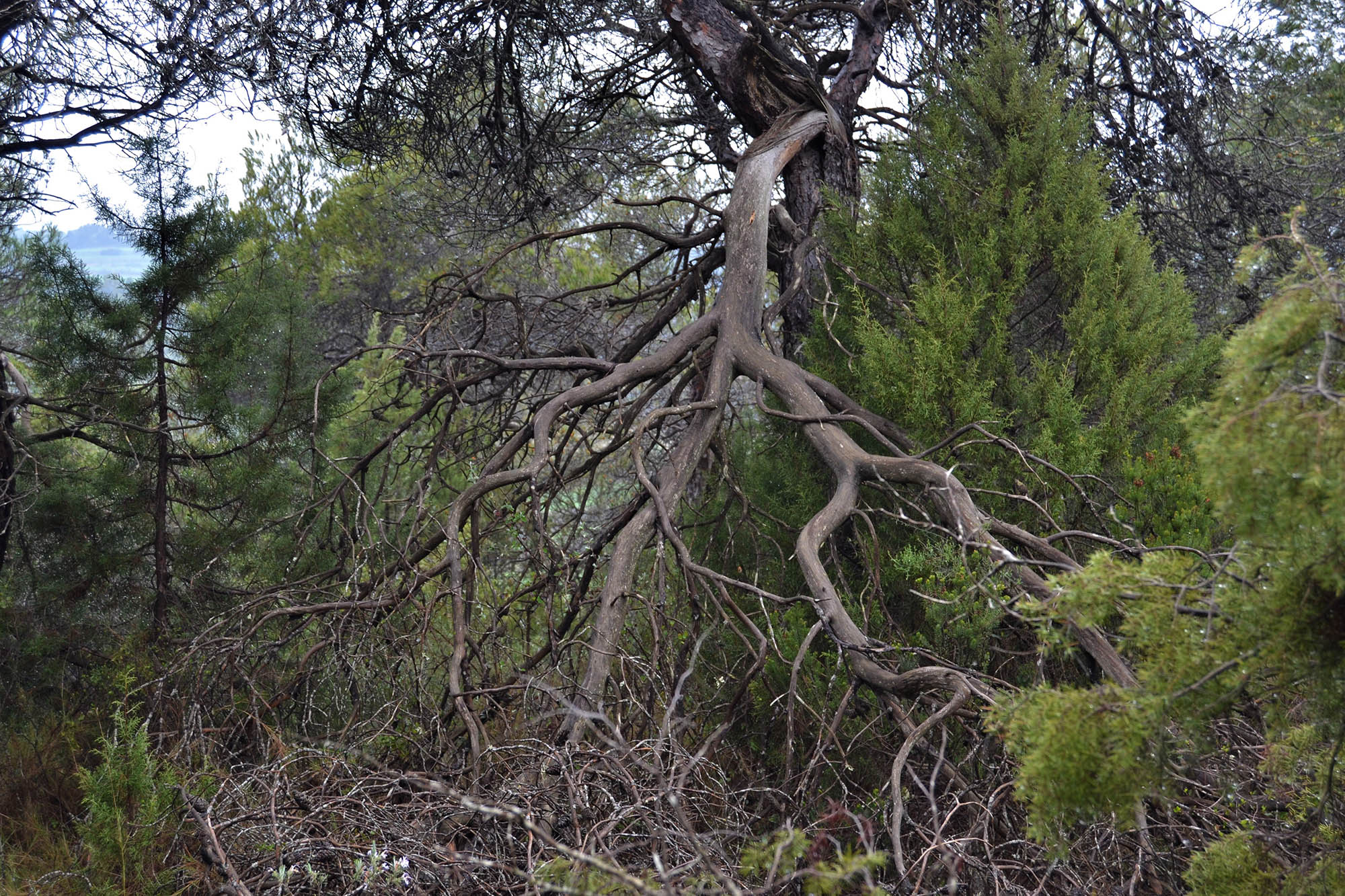
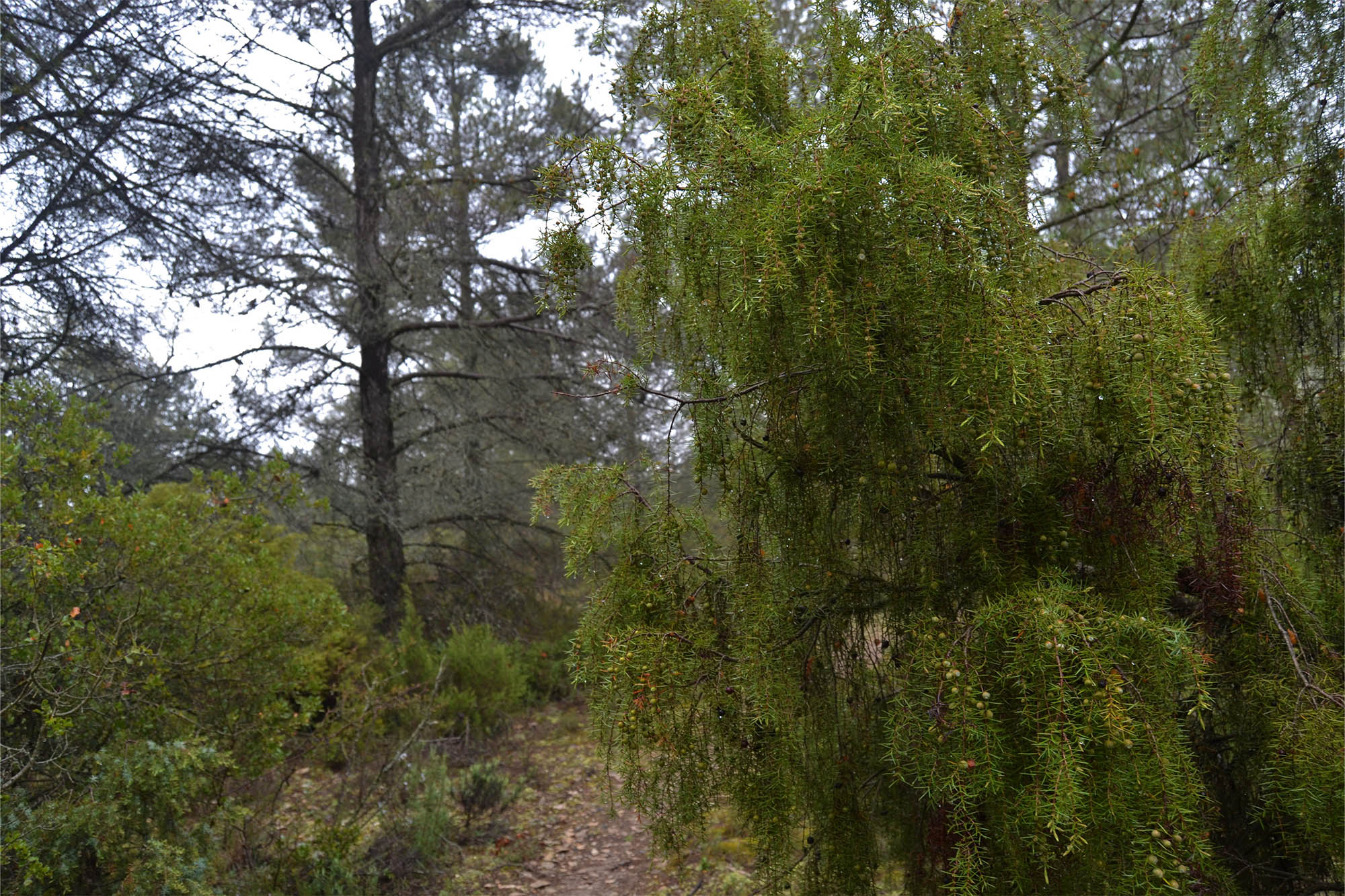
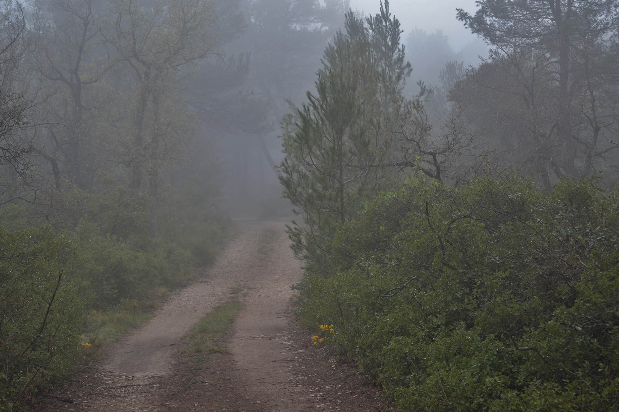
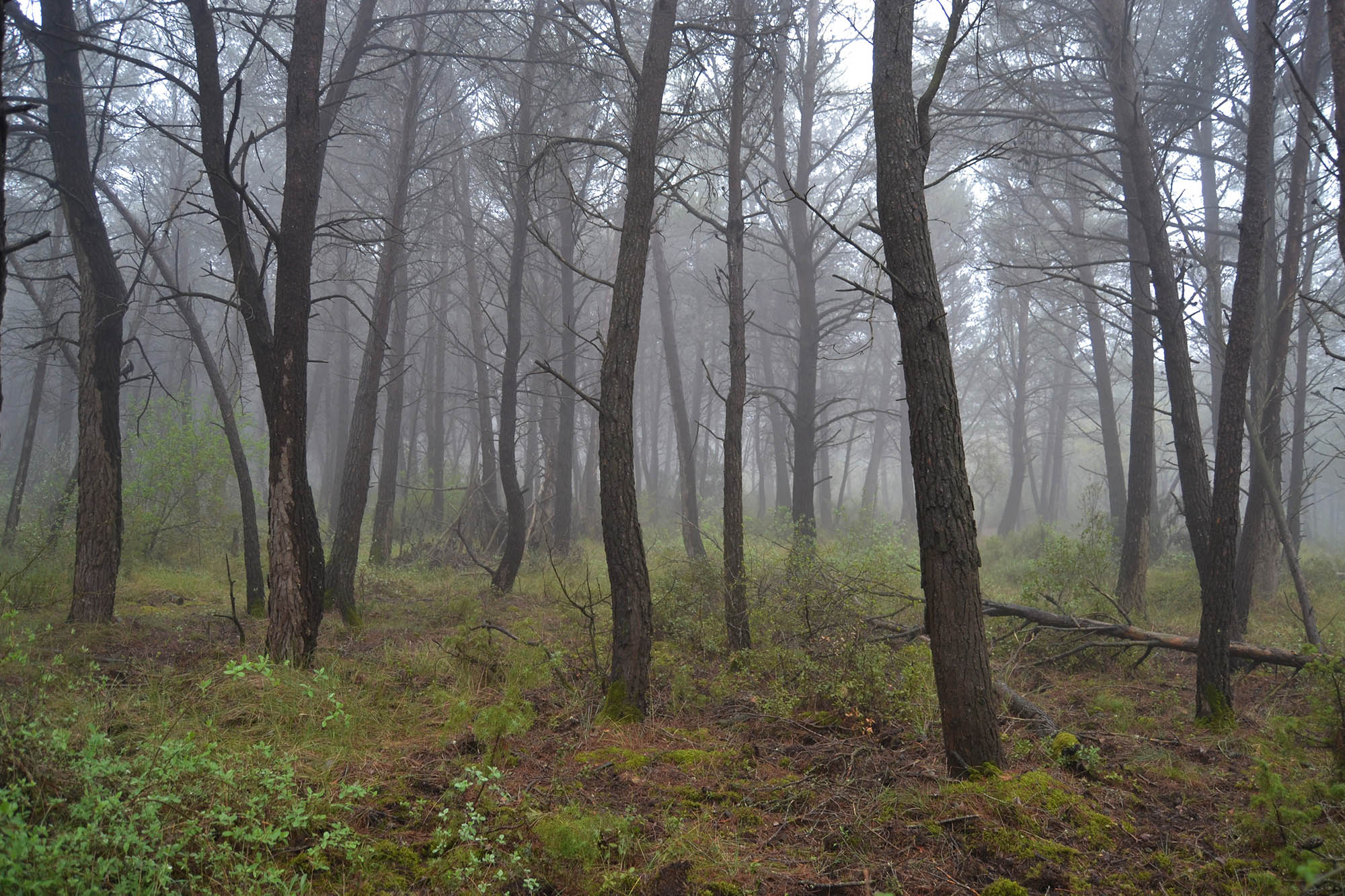
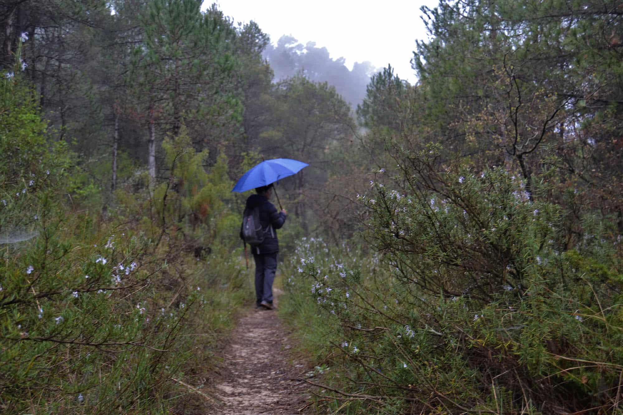
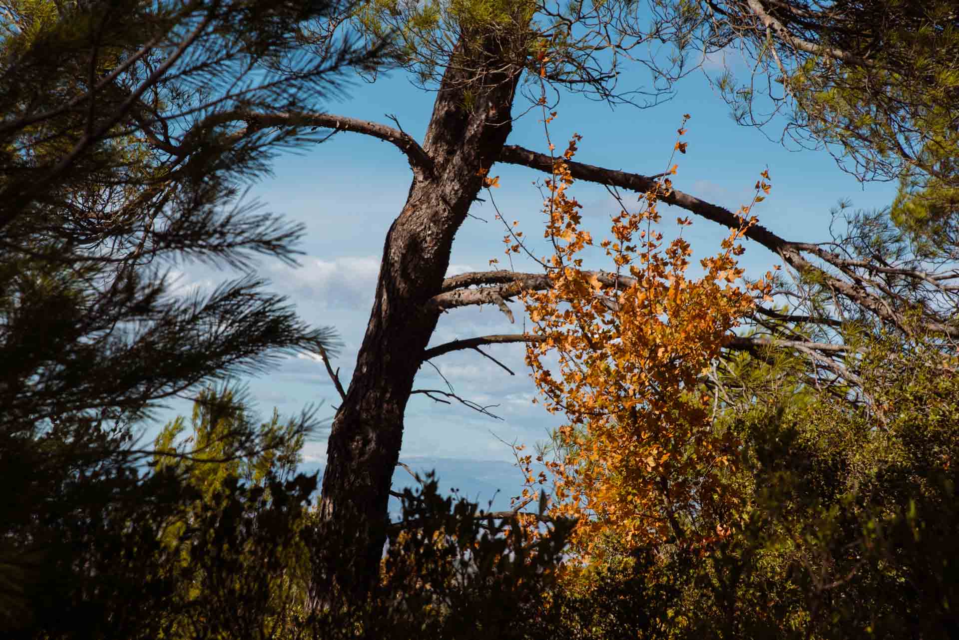
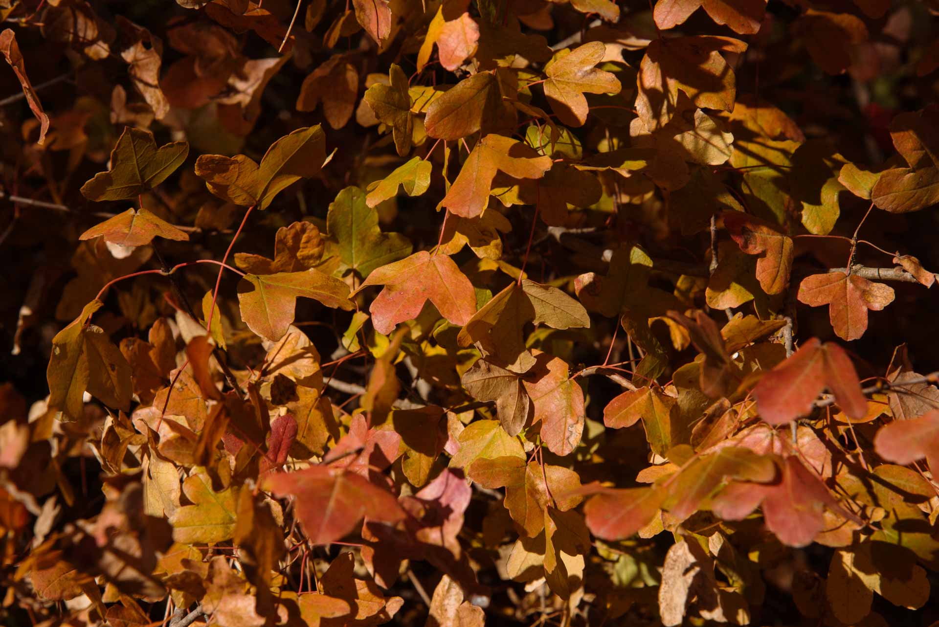
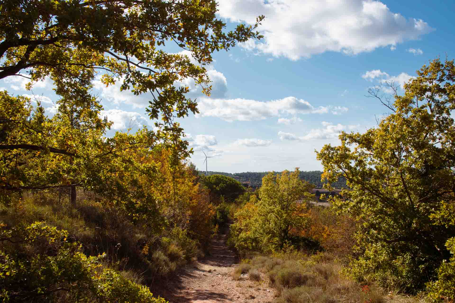
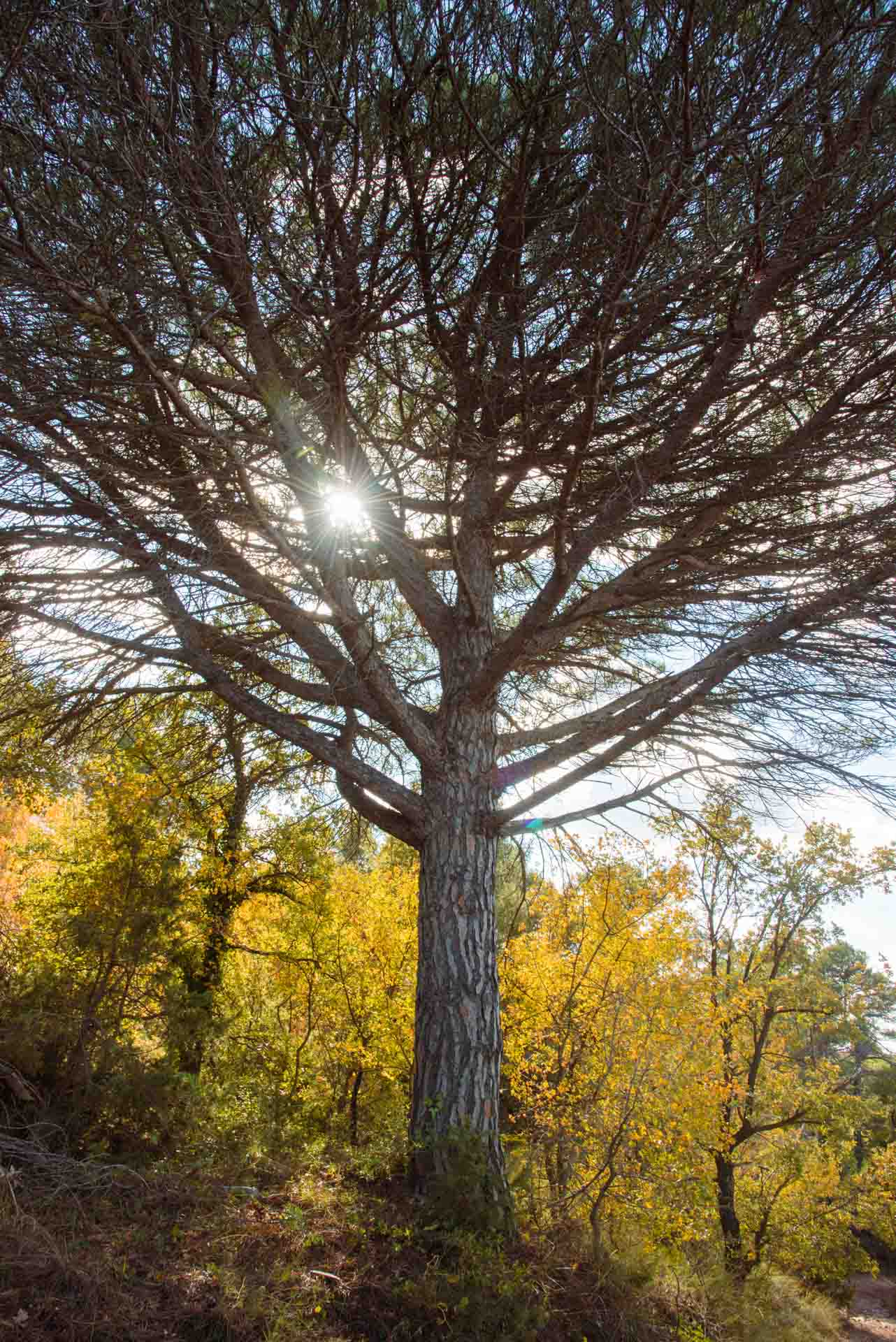
If you then continue along the path, you will find yourself in a place that is slightly cooler than the rest of the comarca, mainly as a result of the height and orientation of the land. This has, however, made it possible for trees to develop. This small path will immerse you in a cool and humid micro-climate and, as a result, you will find vegetation typical of humid areas, such as moss (Bryophyta), which is amongst that typical of this Mediterranean climate. Depending on the time of year, the smell of the aromatic herbs may be more, or less, intense, with rosemary (Salvia rosmarinus) and thyme (Thymus vulgaris) giving this area a wild, balsamic smell. There is an abundance of Mediterranean vegetation, with Aleppo pine; thickets with kermes oak (Quercus coccifera); shrubs, such as rock milkwort (Polygala rupestris); and small areas with typical mid-mountain deciduous vegetation, such as Montpellier maple (Acer monspessulanum), Portuguese oak (Quercus faginea), and cade or juniper (Juniperus oxycedrus), amongst others.
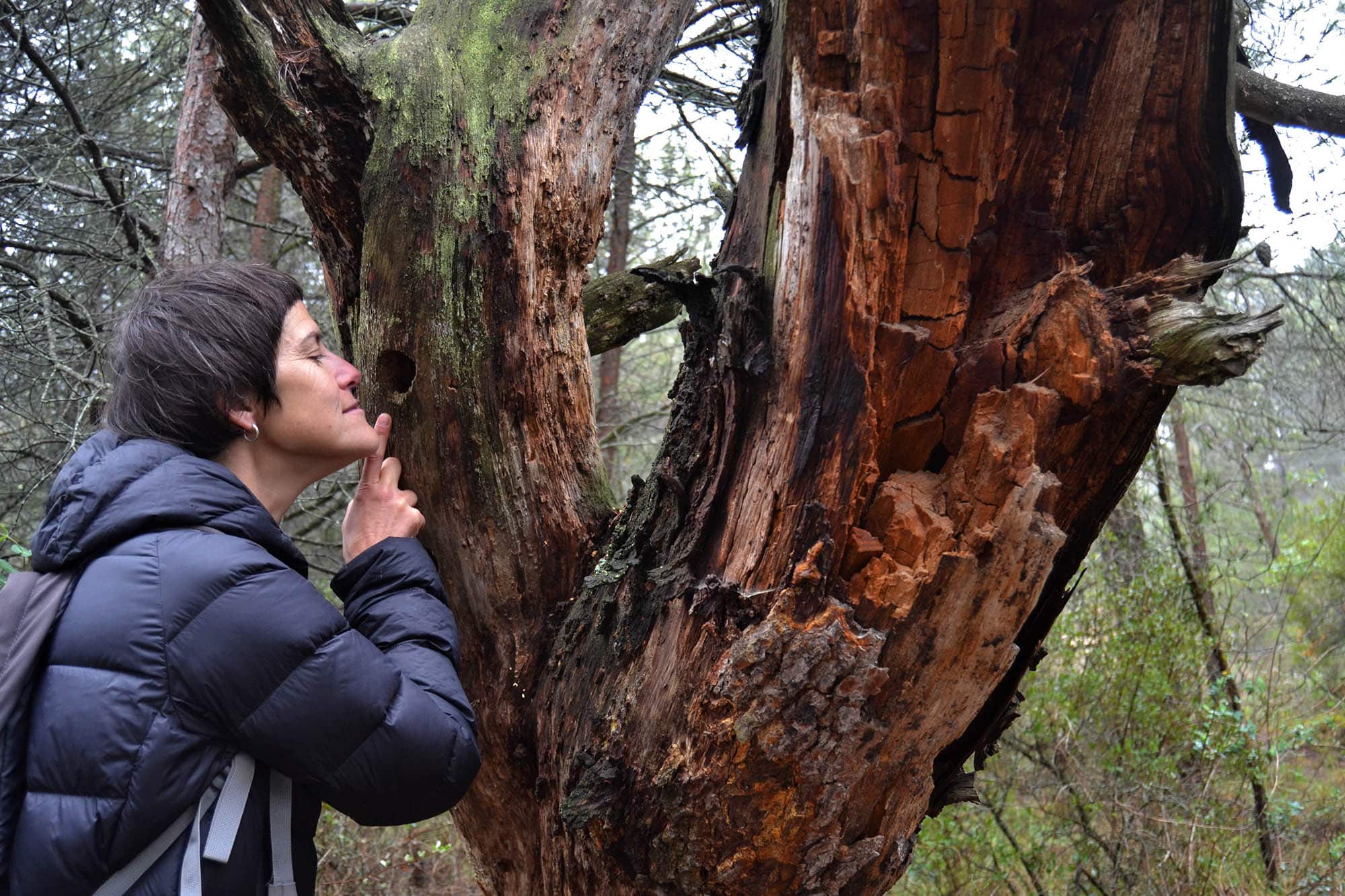
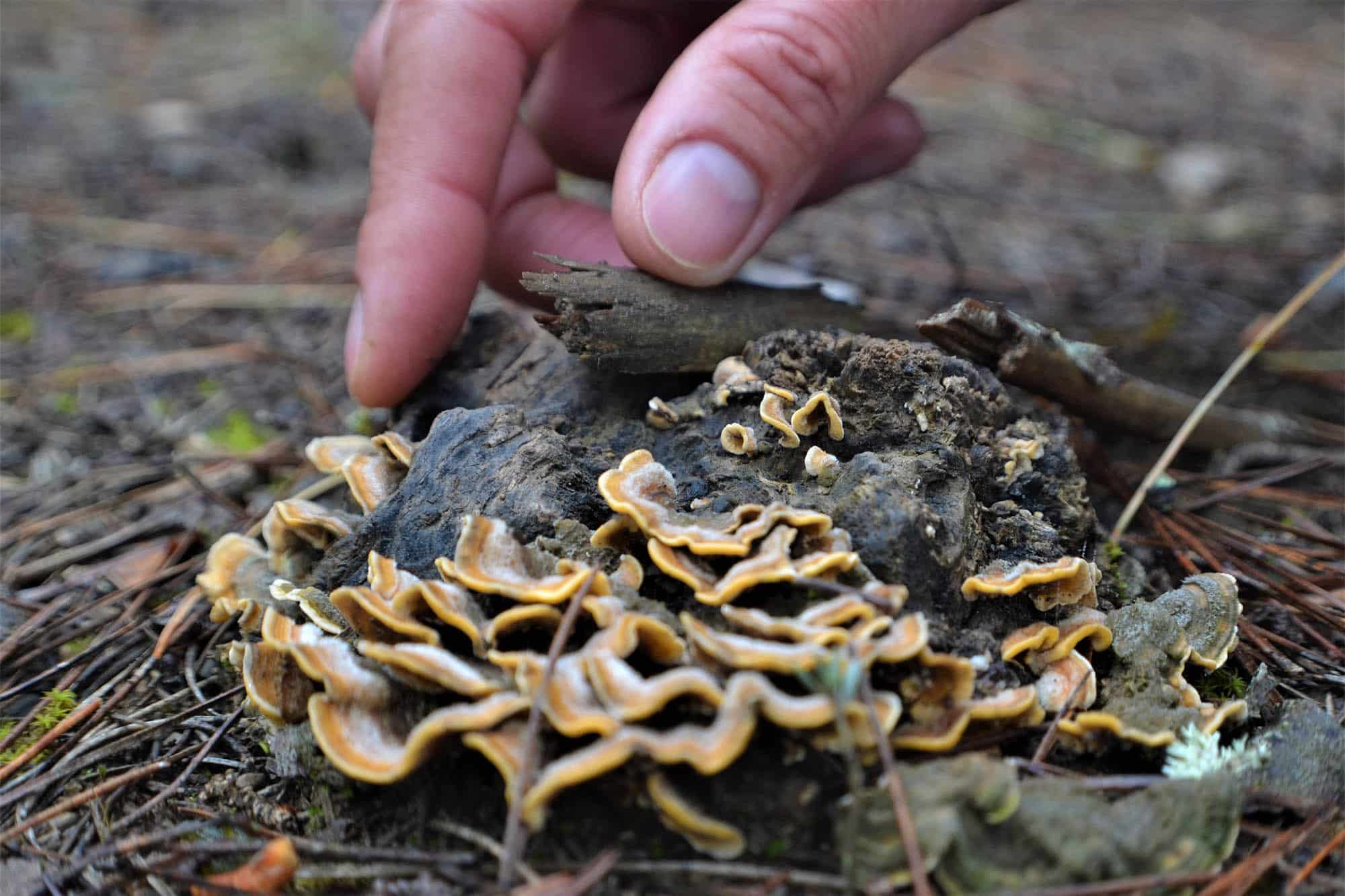
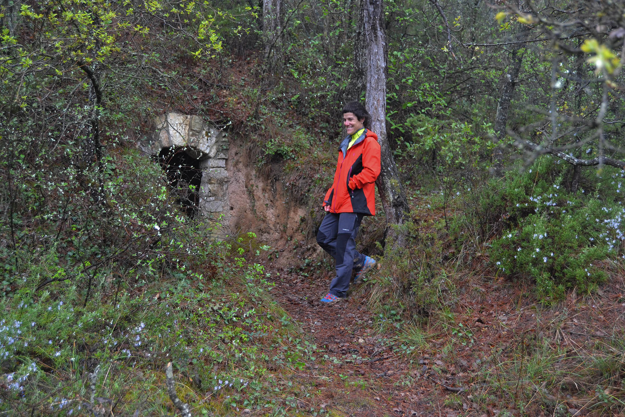
When you have walked for about 650 metres, if you turn towards the esplanade that you will find to your right (which is indicated by a small wooden sign), you will be able to see a mountain shelter for charcoal producers, which was fully recovered in 1957.
It is particularly worth paying attention to the flowers in this area. They stand out for their discretion when it comes to size but, on the other hand, hide a very interesting wealth of detail. They include orchids which have complex ecological interactions with their pollinators and which continue to be a source of attraction for scientists and biophiles alike. Indeed, they had previously attracted the attention of the likes of Charles Darwin.
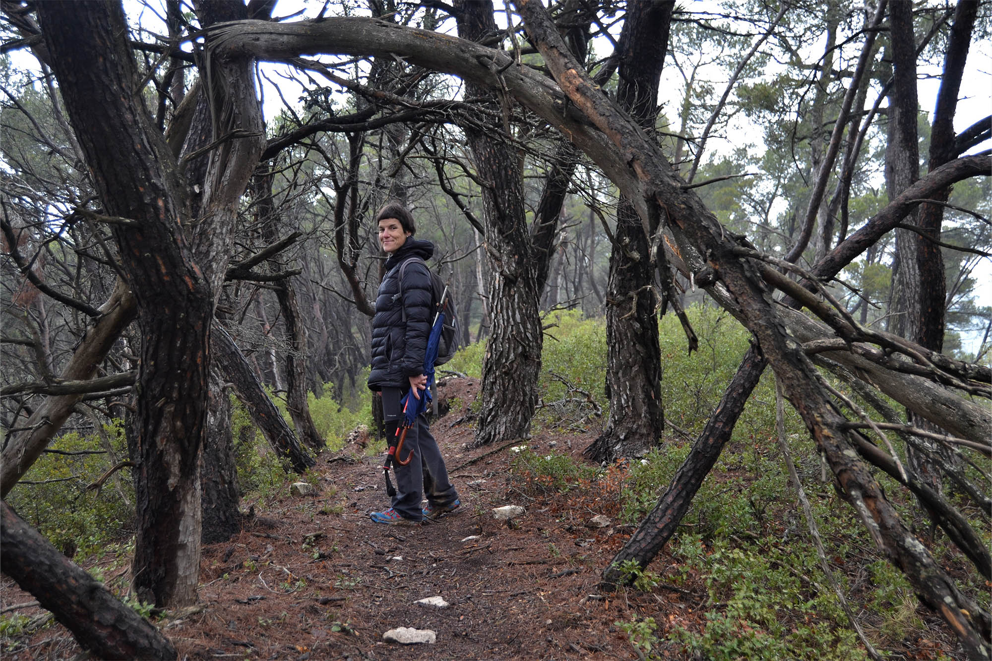
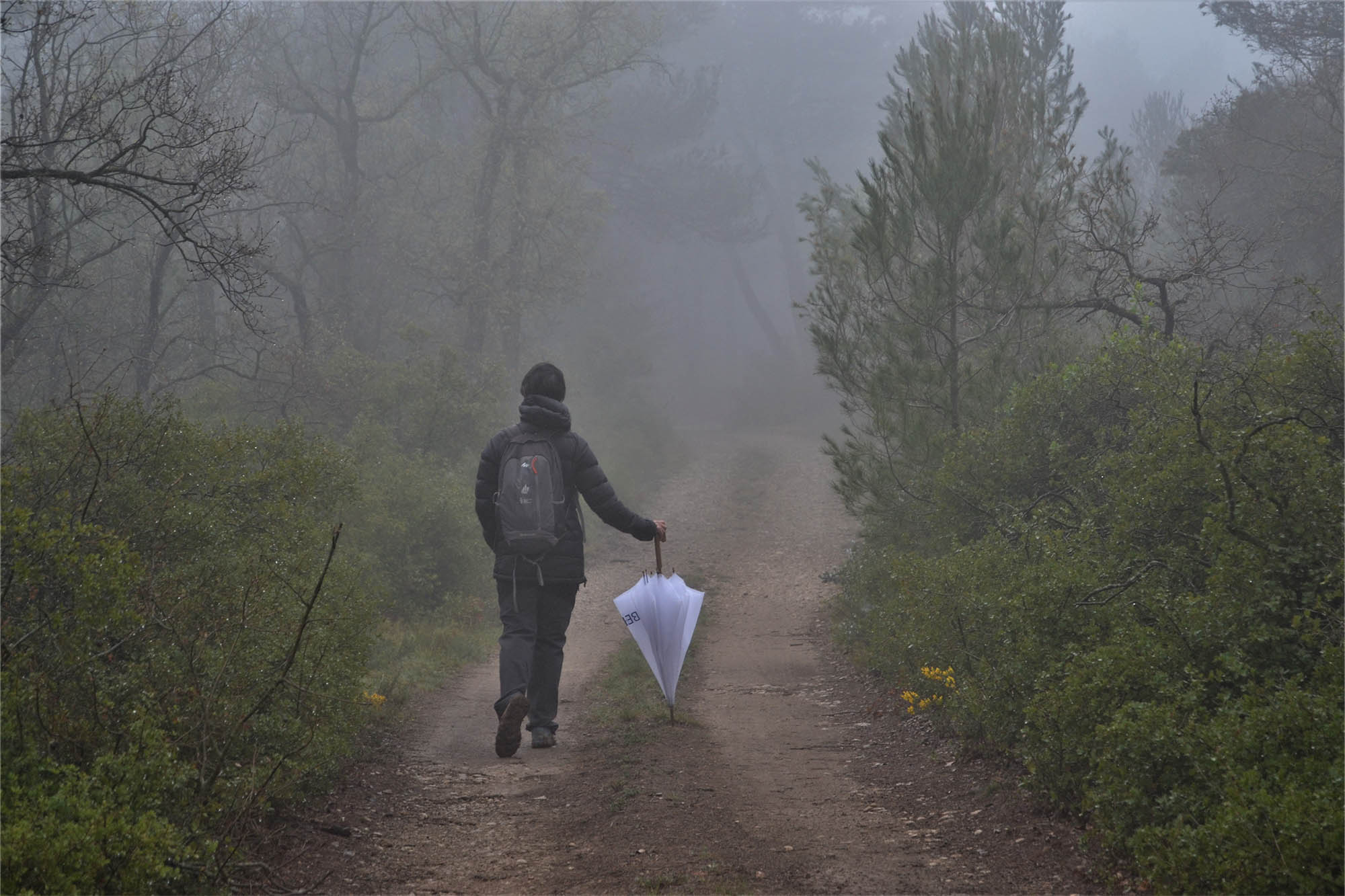
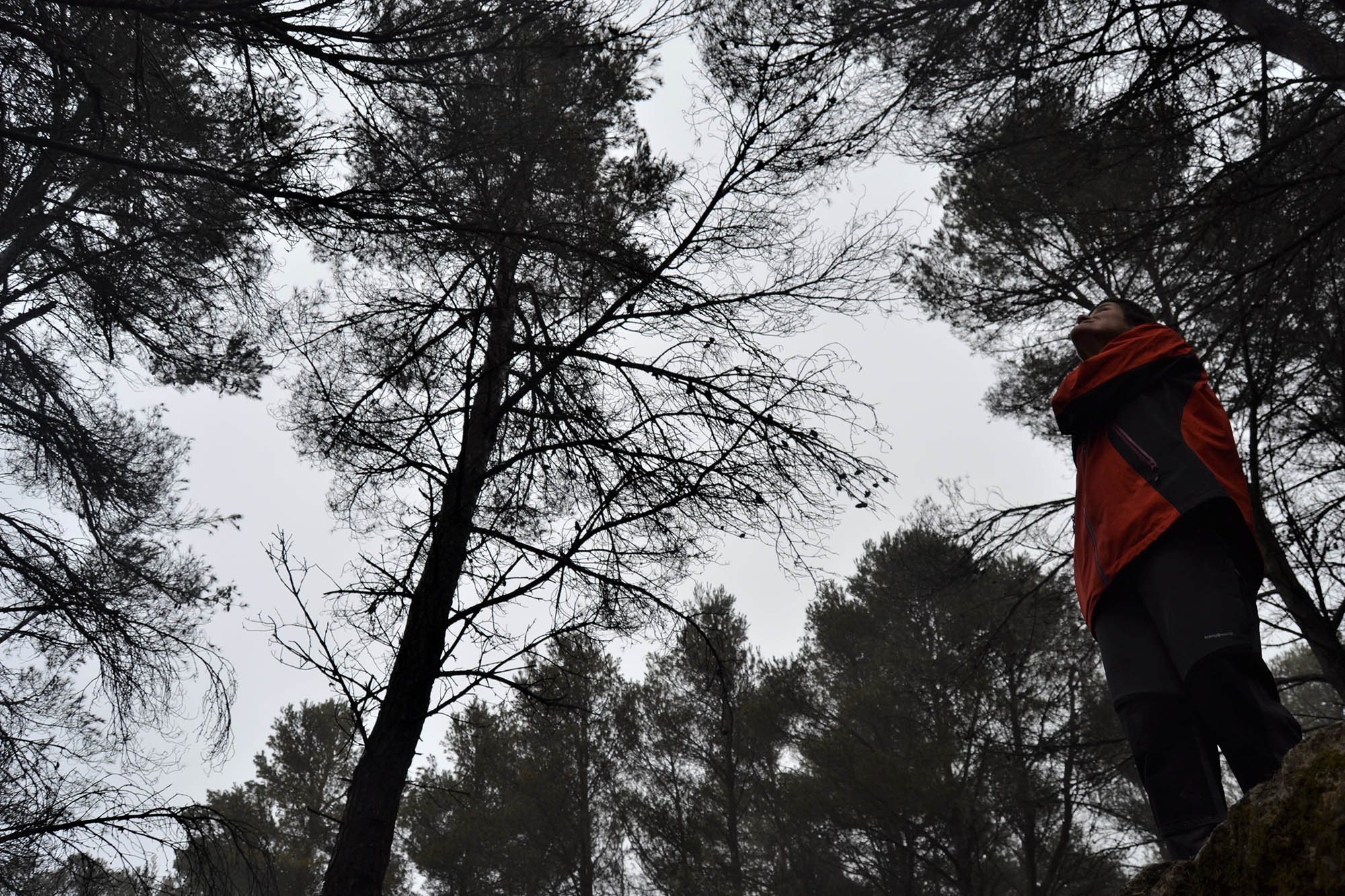
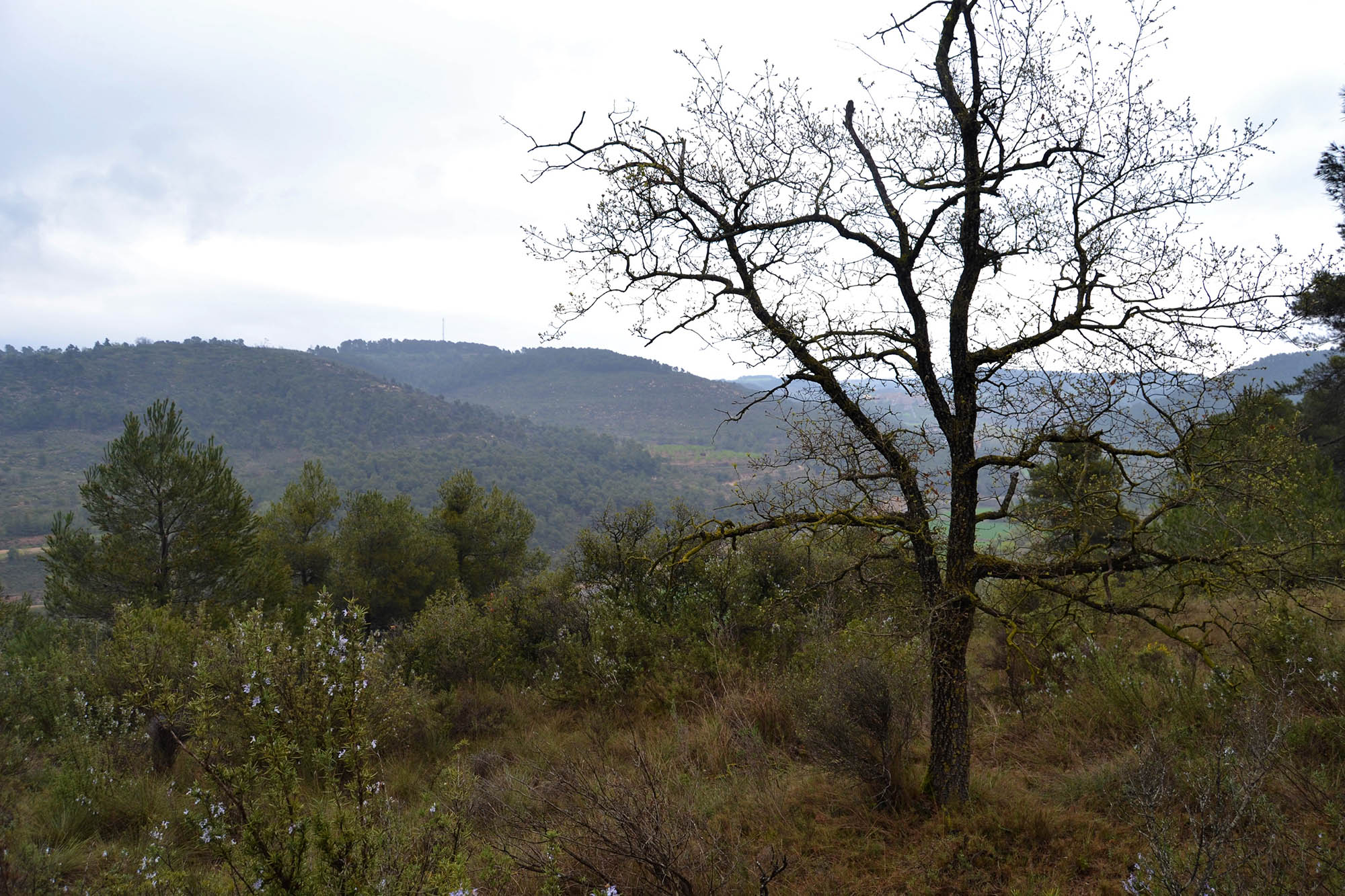
You must then return to the path which you were following and continue climbing uphill for another 200 metres. Having covered this distance, and gone round quite a pronounced left-hand bend, you should pay close attention. A steep, and very narrow, path will emerge to your right which, in a relatively short distance (after a 25-metre climb), will take you to a large esplanade dominated by Aleppo pine (Pinus halepensis). This is an ideal place at which to do any activity involving interaction with nature. In the rainy season, it is frequent to find fog here, which gives the place the appearance of an enchanted forest. In the middle of this esplanade, on the right side of a small clearing in the wood (see the coordinates at the end of the text), you will find artillery observatory number 5, which forms part of what is known as the L-2 defensive line and is a Democratic Memorial Spaces. Once here, it is possible to return by the same path, or to cross the esplanade, continuing over to your left (when looking at the artillery observatory), but take care, as there is no signage. After about 300 metres, you will come to a wider rural path, branching off to your left, which you must follow. At this point, you will find signs for the PR-C58, which you should then follow until the end of the route. After around 500 metres, this path will take you to another wider one, which you must then follow (off to the left); this is at a fork in the PR-C58. Follow this track and you will (almost immediately) come to a tarmacked section. Then continue until you again meet the LP-2335, after about 750 metres. Carefully cross the road (taking care with the traffic) and head back towards the centre of Rocallaura along a cement road. Almost immediately, you will come to the village bar and then the parking area.
FOREST BATHS