

The La Serra route
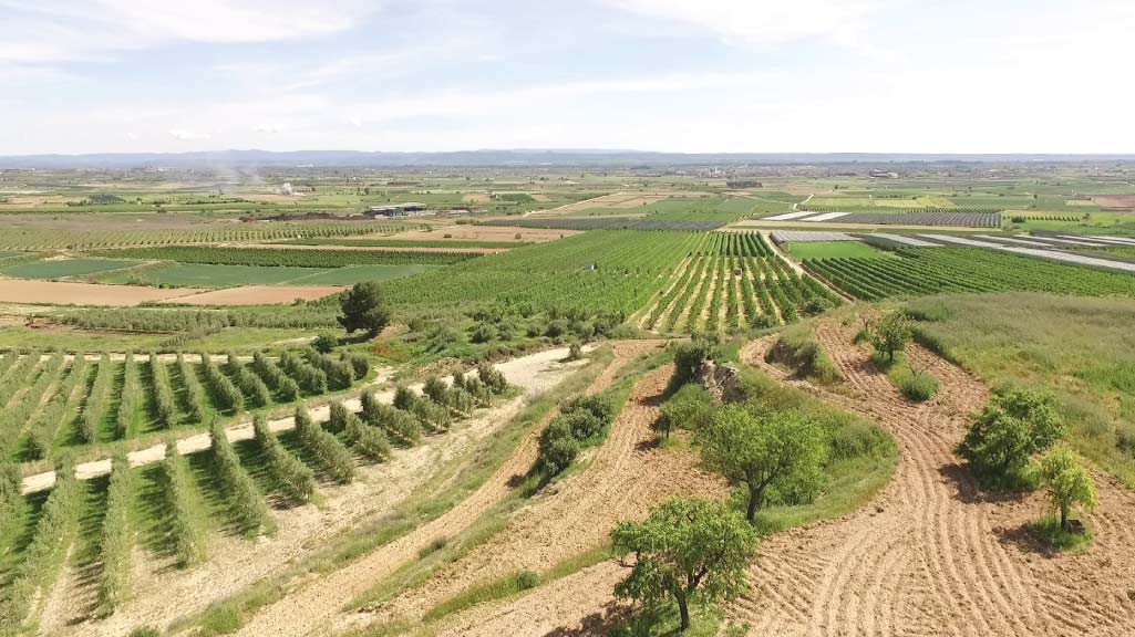
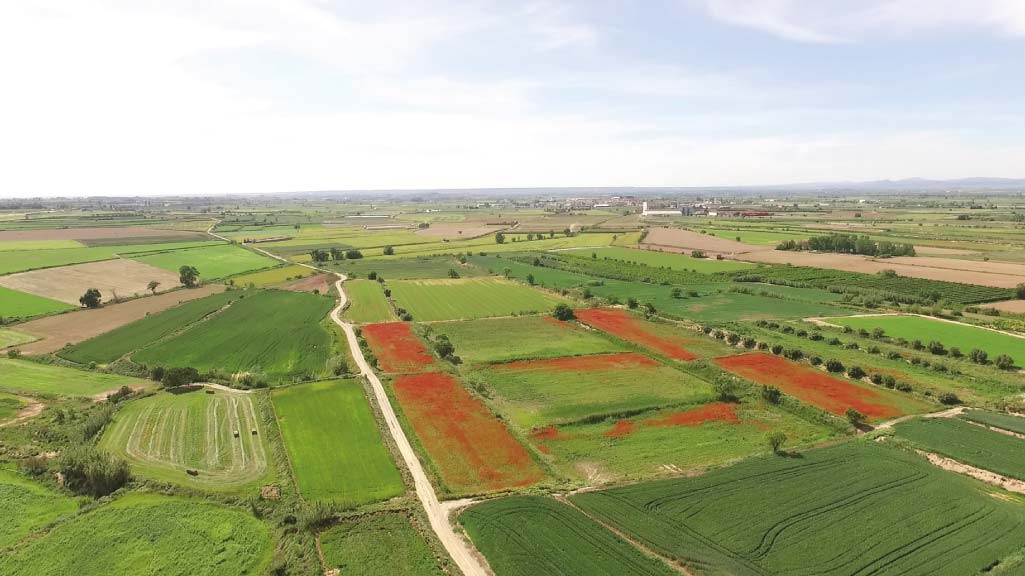
This route runs across a high plateau that allows us to discover the dryland landscapes of El Pla d’Urgell and to enjoy panoramic views over practically the whole plain. Most of the route follows the path of an old transhumance trail that was once used by shepherds. Climb to the Fita Alta (290 m above sea level) from where it is possible to see the contrast between the dryland vegetation of the high plateau and the irrigated crop-lands (with fruit trees, sweet corn, ...) of the plain.
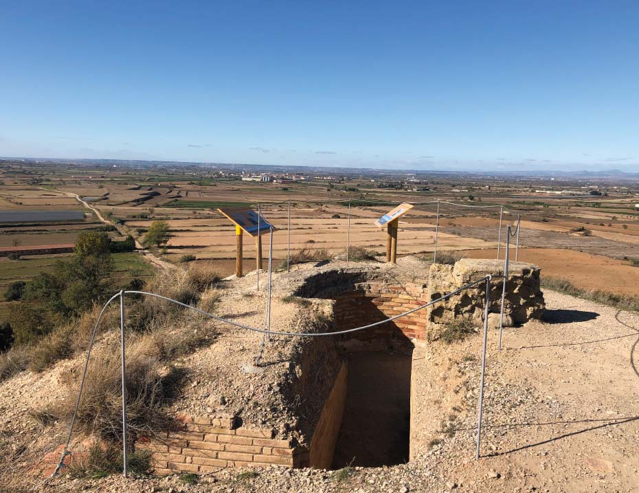
You can also discover the Round Deposit, which was designed by the engineer, politician and former President of the Generalitat: Francesc Macià. It is also possible to find the Observatory of Sidamon: a fortification dating from the Spanish Civil War, which was built by the Republican army during the Battle of the Ebro and whose original purpose was to detect enemy troop movements. The observatory had a trench which communicated it with a shelter that was dug into the hill.
Looking out from the northern side of the observatory, on a clear day, it is possible to pick out the Rasos de Peguerà (El Bergadà), the Port del Compte mountains (El Solsonès), the Aubenc mountains (L'Alt Urgell), the Boumort sierra (El Pallars Jussà) and the imposing Montsec massif (the southernmost ridge of the Catalan Pre-Pyrenees). From the southern side, it is possible to see the mountains of Prades, the La Llena uplands, the Serra dels Bessons, Montsant and the Serra de les Forques.
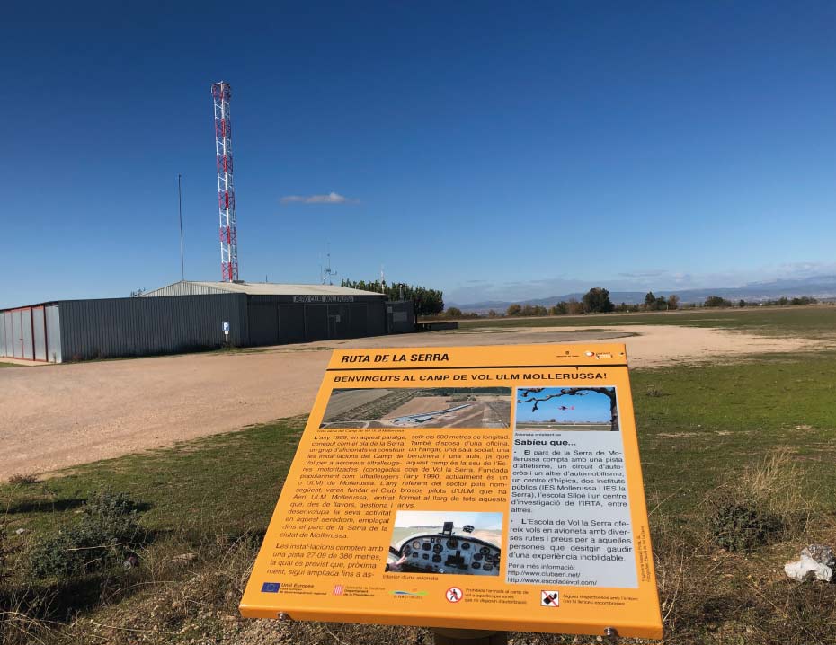
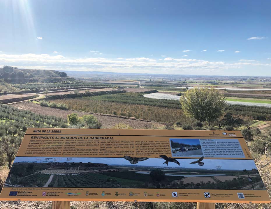
The route passes next to the ULM (ultralight) Flight Field of Mollerussa, which is located on the Pla de la Serra and has a 380 m runway. Other places of interest are the Tossalets of Bell-lloc, the vantagepoint of La Carrerada and the Pineda of Bell-lloc.
The whole route can be followed by bicycle, or it can also be done on foot, or on horseback. It has a total distance of 23.6 km (round trip).
Distance: 9,49 km
Level: Moderate
Distance: 6,7 km
Level: Moderate
Distance: 11,82 km
Level: Easy
Distance: 11,17 km
Level: Easy


WITH THE SUPPORT OF

FUNDED BY


IN COLLABORATION WITH


