PERSECUTED AND SAVED


ROUTE 06: Coll de Pimés
DESCRIPTION
This route leads from the neighbouring country of Andorra to Bescaran in L’Alt Urgell. The Persecuted and Saved project signposts the route from the Coll de Pimés pass and can be followed on foot or by mountain bike (MTB). From the Coll de Pimés pass, walkers in search of freedom followed the route to Bescaran, Estamariu and Llirt before reaching La Seu d’Urgell. To get a taste of what these escape routes represent, Persecuted and Saved proposes that walkers follow the section from the Coll de Pimés pass, which can be accessed by vehicle from Andorra, before then heading downhill on foot to Bescaran, in L’Alt Urgell. The proposed route can be completed in a single stage as explained below:
STAGES
Stage 1: Coll de Pimés – Bescaran
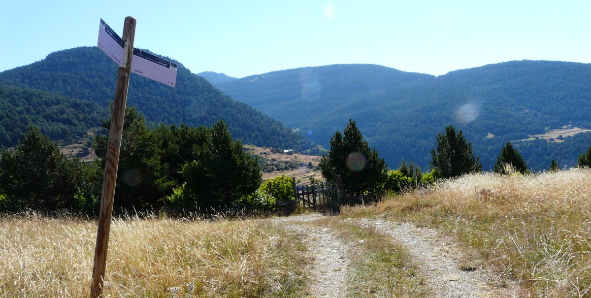
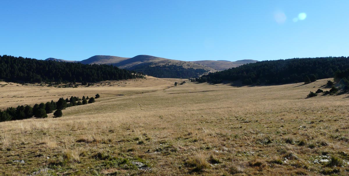
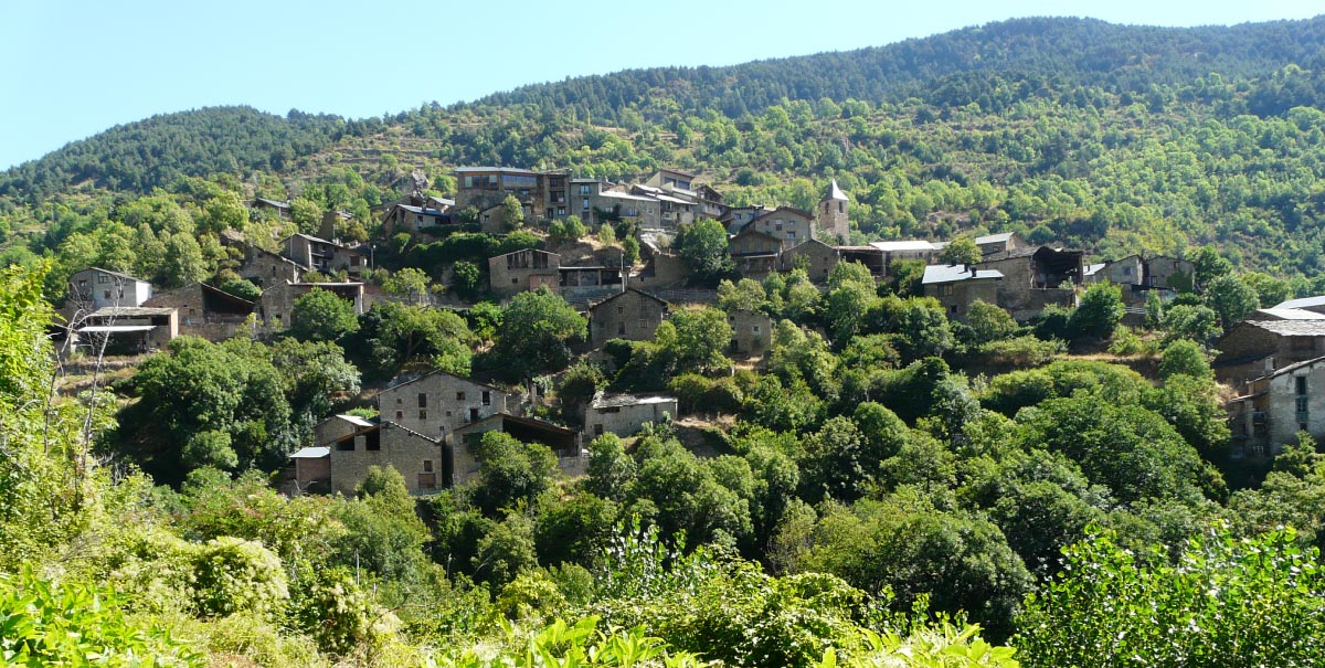
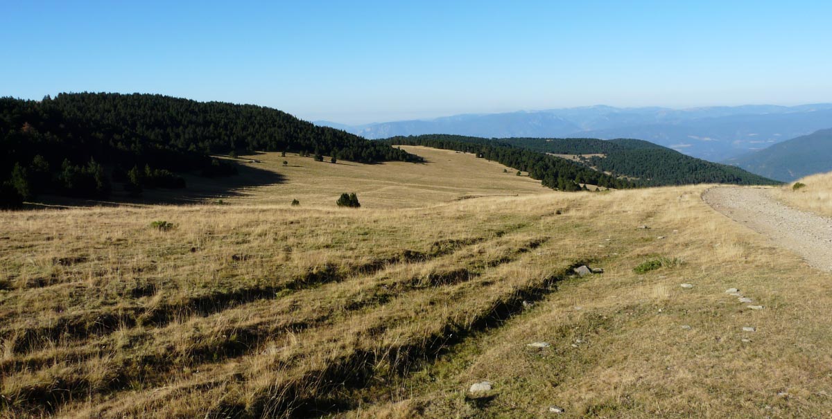
The route begins at the Coll de Pimés pass, located at an altitude of 2,156 metres, where it crosses the Planell de la Cuca plain. These fantastic meadows, which stand at over 2,000 metres, provide access to the entrance to a black pine forest where it is possible to find flocks of animals pasturing and seeking shade in the summer months. From this point, visitors must follow the path, which is signposted with markers reading “El Camí” (The Way), which are painted in red and accompanied by a symbol of CC, on stones, markers and the bark of trees. The openings of these marks show the direction to follow: one opening looks towards the direction from which people have come, while the other looks in the direction in which the path continues. In total, “El Camí” (the main path, signposted with the red mark) is about 4,750 km long, while there are other branches that lead off to the rest of the municipalities in the other local districts (yellow mark). The “El Camí” mark was inspired by the form of the number 8 associated with the main path; it also reflects the symbolism associated with this number. After about an hour, the woodland ends and trekkers reach the “bordes” (rural shelters) of Pudovern. Here, they must follow a forest track that runs through crop fields. About 400 metres further on, there is a sign on the left that points back to the footpath. Here, there are drystone walls on either side which mark the boundaries of the meadows. From this point on, there is a steep downward slope and it is necessary to proceed with care. The route leads to the bottom of the gully, after about 1 km, and there is then a 240-metre climb to reach El Pontiró, the small bridge that crosses the river. The route continues through a riverside wood until it reaches Bescaran. The whole municipal district of Bescaran forms part of the PEIN (protected space of natural interest) of La Tossa Plana and Puig-Pedròs.
TECHNICAL DETAILS
Altitude of Coll de Pimés: 2,156 m.
Altitude of Bescaran: 1,372 m.
Net descent: 768 m.
Total length: 5.8 km.
Difficulty: DEMANDING
TOTAL ROUTE TIME: 2 hours + time for stops.
ACCESS POINTS
To the Coll de Pimés (Andorra):
The stretch between La Seu d’Urgell and the Andorran village of Sant Julià de Lòria is 14 km long. There is then a climb to Naturlandia, at an altitude of 2,000 metres, which is at a distance of 17.6 km. From there, it is possible to continue to the Coll de Pimés pass, approximately 1 km away, in a 4×4 vehicle. Alternatively, it will be necessary to leave the vehicle at Naturlandia and to do the 1 km to the pass on foot.
To Bescaran (L’Alt Urgell):
About 5.5 km from La Seu d’Urgell, on the way to Puigcerdà, following the N-260, there is a signposted turn off for Bescaran, which is 10 km further on.
RECOMMENDATIONS FOR FOLLOWING THE ROUTE
Doing the route is conditioned by its state, which varies according to the different seasons of the year. It is recommended to do it in SUMMER – AUTUMN. Recommendations:
- Hiking poles.
- Mountain footwear.
- 5 litres of water per person.
- Solar protection (glasses, cap …)
- Wear appropriate clothing (warm clothing in case of cold, and waterproofs in case of rain).
- Take sufficient food for a whole day.
- Go with other people and, whenever possible, with guides who know the territory.
- Obtain information about the meteorological conditions and the path before starting the route.
SPACES OF INTEREST
L’Alt Urgell has numerous natural, cultural and sporting tourist resources to enjoy all year round. It is relevant to highlight those that can be found along the route or that it is recommended to visit on account of their relation with the main theme:
Espai Ermengol, at La Seu d’Urgell
Here, visitors will find a place that provides information about the “Persecuted and Saved” project. C. Major 8 (historic centre). Tel. 973 353 057. www.espaiermengol.cat
Recommended visit; it is 51 km from La Seu d’Urgell:
“Road to Freedom” Prison-Museum, at Sort
A prison centre for more than 2.660 people who were detained while fleeing through the Pyrenees during the period corresponding to the Second World War.
Tel. 973620010
www.camidelallibertat.cat
museu@camidelallibertat.cat
TOURISM SERVICES
In L’Alt Urgell, visitors will find a wide variety of tourist establishments. Along the route, they will only find services at Bescaran. Here, we highlight the accommodation services and bar-restaurant:
For more information, contact:
https://www.alturgell.cat/turisme
THE WHOLE ROUTE FROM ANDORRA: Sant Julià de Lòria – Coll de Pimés – Bescaran
Anyone who wants to do the whole historic route will have to do it from Andorra. This is a very demanding route, but it is apt for people who are used to doing mountain crossings.
Sant Julià de Lòria – Bescaran
The reference settlement in Andorra is St. Julià de Lòria, which is located just over the border when entering the country via La Farga de Moles. The starting point for the route is on the outskirts of St. Julià, on the “Prat del Riu” estate. The path is signposted with markers indicating “El Camí”. The route passes through Aixirivall and visits the installations of the cross-country ski resort of Rabassa and Naturlandia. Once trekkers have reached Naturlandia, at an altitude of 2,000 metres, they will arrive at the Coll de Pimés pass and can go on to Bescaran following the previously described route. This route can be done in just a single day. It covers 15.4 km and involves a net climb of 1,256 metres, which makes it VERY DEMANDING. From Bescaran, it is also possible to continue on foot to La Seu d’Urgell, via Estamariu and Llirt, with a total stage distance of 15.6 km
