PERSECUTED AND SAVED


ROUTE 03: Port de Salau
DESCRIPTION
This route leads to one of the mountain pass escape routes used during the Second World War. It ran from the French settlement of Salau, in the River Salat valley of the region of Ariège, to the Catalan Pyrenees. Escaping Jews made their way from the Port de Salau pass to the village of Alòs d’Isil. Some of those stopped and captured along the way were transferred to the prison at Sort.
The Persecuted and Saved project signposts the route, followed on foot, from the Refugi del Fornet mountain shelter to the Port de Salau pass. It is signposted and can be walked in both directions.
The proposed route can be completed in a single stage.
STAGES
Stage 1: Port de Salau – Refugi del Fornet
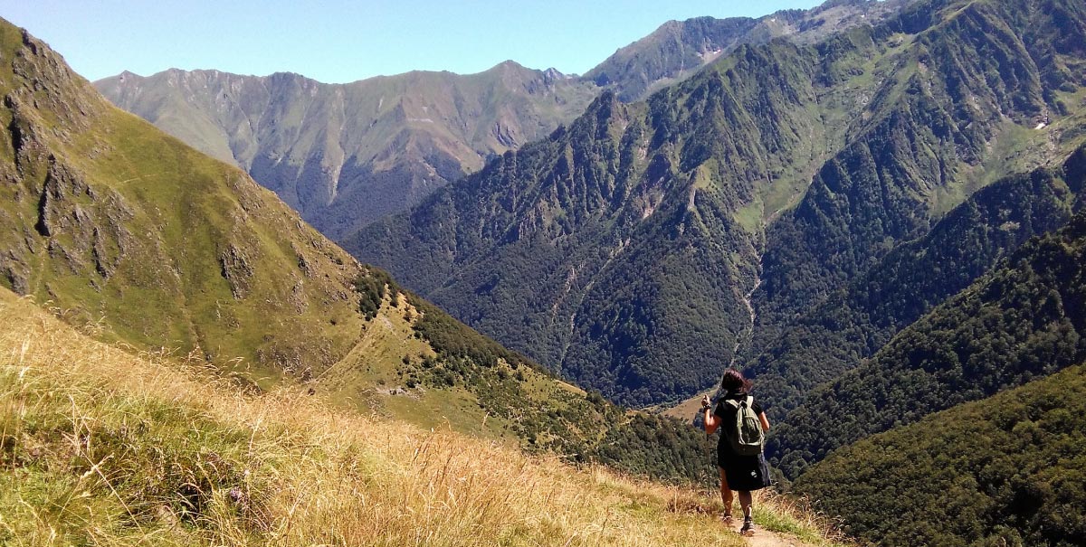
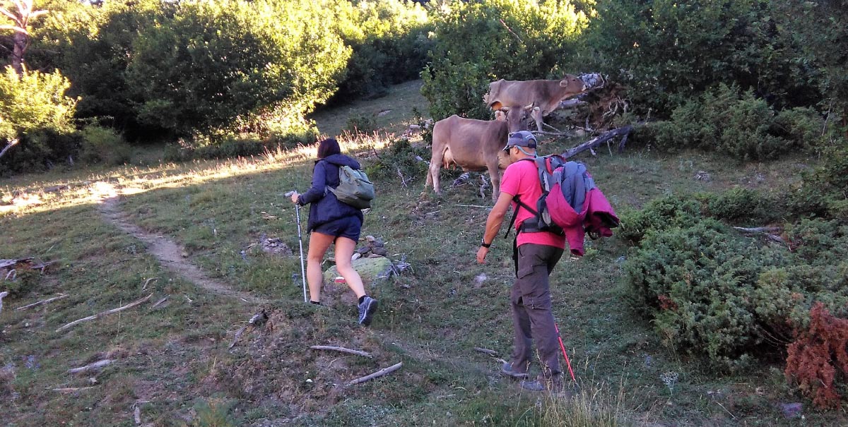
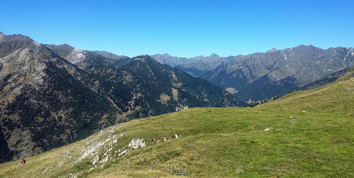
After a 2-hour ascent, walkers will reach the top of the Port de Salau pass (at 2,087 m), where they will see the impressive remains of some very particular industrial constructions by Mathussière et Forest, a French company dedicated to the extraction of wood from the forests of Bonabé, between 1903 and 1921. In order to transport this wood, the company constructed what was, at the time, the longest cable car route in Europe; it was 9 km long, with a very steep trajectory. These remains were also used during the Second World War as a shelter for crossing the Port de Salau pass. The extensive esplanade of the pass is an open invitation to walk through these constructions, where it is also possible to find a number of platforms that remind us of history and of the Occità-Catalan Meeting which has been held here every August for more than 30 years. At this gathering, neighbours from settlements on both sides of the mountains celebrate a commercial relationship, free from borders, which has lasted for centuries. A small stream runs down the French side of the mountain. In summer, it is also possible to see the cattle pens on the other side, until the stream disappears behind the rocks, inviting people to come closer and to discover a magnificent vantage point that looks out over the French valley. From there, it is possible to see the remains of the fallen cable-car towers. On the Catalan side, it is possible to look out over the extensive Bonabé valley, which is bathed by the River Noguera Pallaresa. This is the meeting point of routes that run from other well-known passes, located further to the north: the Aulà, Clavera and Gireta passes, which are less accessible than the Salau route. The descent starts from the back of the mountain, following the red and white markers of the cross-border GR, which runs between the two countries. The route is constantly accompanied by splendid views that invite visitors to stop and look out over the valley into which it descends. At this point, the route enters the High Pyrenees Natural Park, which is the largest in Catalonia and is rich in flora and fauna. The area around the Port de Salau pass is edelweiss country. If found, this can be photographed, but visitors must remember that this is a protected species that cannot be picked. Soon the route runs through an area with more trees, combined with fields of pasture, known as the Pleta dels Pastors, where it is frequent to find herds of cows chewing their cud in summer. Heading off to the left, the route first heads downhill into a gully, which it comfortably crosses, before then gently ascending. Here, the route follows a narrow, more hidden, path through a black pine wood. This runs parallel to the upper part of the River Noguera Pallaresa and connects the settlement of Alós d’Isil to the Àneu valleys (El Pallars Sobirà) and Montgarri to the Val d’Aran. Following the track off to the left, walkers will reach Refugi del Fornet mountain shelter.
TECHNICAL DETAILS
Refugi del Fornet – Port de Salau – Refugi del Fornet
Start point: El Fornet mountain shelter
Mid point: Salau pass
End point: El Fornet mountain shelter
Total length: 8 km
Initial altitude El Fornet mountain shelter: 1,371 m
Maximum altitude of the Salau pass: 2,086 m
Net ascent: 715 m
Net descent: 715 m
Difficulty: DEMANDING
TOTAL ROUTE TIME: 3 hours 40 minutes + time for stops. (going and returning by the same path) 2 hours going up; 1 hour and 40 minutes coming down.
ACCESS
As far as the Refugi del Fornet mountain shelter (Àneu valleys – El Pallars Sobirà)
The distance from Sort to the village of Alòs d’Isil is 44 km. From there, visitors can go to the El Fornet mountain shelter, 4 km away, following a tarmac road. Vehicles can be parked here to begin the route on foot.
RECOMMENDATIONS TO FOLLOWING THE ROUTE
Doing the route is conditioned by its state, which varies during the different seasons of the year. It is therefore recommended to do it in SUMMER – AUTUMN.
- Hiking poles.
- Mountain footwear.
- 5 litres of water per person.
- Solar protection (glasses, cap …)
- Wear appropriate clothing (warm clothing in case of cold, and waterproofs in case of rain).
- Take sufficient food for a whole day.
- Go with other people and, whenever possible, with guides who know the territory.
- Obtain information about the meteorological conditions and the path before starting the route.
SPACES OF INSTEREST
The Àneu valleys and El Pallars Sobirà boast numerous natural, cultural and sporting tourist resources that can be enjoyed all year round. It is particularly relevant to highlight those that can be found along the route or that it is recommended to visit on account of their thematic interest:
“Road to Freedom” Prison Museum, at Sort
This was a prison centre for more than 2,660 people who were detained during their flight through the Pyrenees in the period corresponding to the Second World War.
tel. 973620010
www.camidelallibertat.cat
museu@camidelallibertat.cat
Remains of “Mathussière et Forest“, at Bonabé
The abandoned constructions of this forestry company that will be found along the route were also used by refugees as hiding places.
TOURISM SERVICES
In the Àneu valleys and El Pallars Sobirà, there are a wide range of tourist establishments. Moving along this route on foot, visitors will find the following accommodation and bar-restaurant services:
Per ampliar informació contactar amb:
http://turisme.pallarssobira.cat/
THE WHOLE ROUTE AS FAR AS FRANCE: Refugi del Fornet mountain shelter – Salau
For those who would like to do the whole route, unlike along the rest of the Persecuted and Saved routes, it is advisable to do this by travelling from Catalonia to →France. This is because the ascent from the French side is very demanding for a single day route, and there are no mountain shelters along the way at which to spend the night. Doing the route in this direction, the walk is long and demanding, but it is apt for people used to doing mountain crossings.
Description:
The starting point for the route will be the El Fornet mountain shelter (El Pallars Sobirà), from where visitors will go to the Port de Salau pass. Once at the pass, they must follow the signs for the cross-border GR. It is a long, but comfortable, 4-hour descent until walkers reach the village of Salau. On the way down, they will find a turn off that leads to Saint Jean, a small church associated with monk soldiers, which dates from before 1292; it stands just next to the Leziou waterfall. Then, cross the River Salat, via a small bridge, and follow the lush vegetation on the left bank as far as Salau. The Port de Salau pass has been one of the most important transport routes in the history of El Pallars and El Couserans. For centuries, it has been used as a commercial route between France and Spain. It was also used by the Romans to cross to Hispania from Saint Bertrand de Comminges, between the years 77 and 72 BCE. It is recommended to visit the “Road to Freedom” Prison-Museum before leaving El Pallars Sobirà.
