

The Transllena Route
Total length of the route: 12.7 km.
Initial altitude: 660 m
Maximum altitude along the route: 989 m
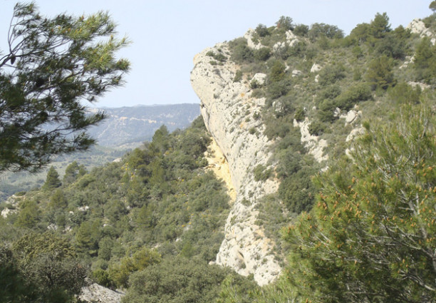
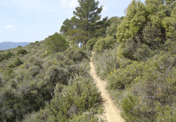
The Transllena route runs through the municipal areas of La Pobla de Cérvoles and El Vilosell. It enters the Llena uplands, from where it is possible to enjoy views of the Montsant Sierra, much of the local districts of Les Garrigues and La Conca de Barberà, and - on clear days - even as far as the Pyrenees. This is a route with a medium level of difficulty.
For more information: Consell Comarcal de les Garrigues
Pictures
Videos