


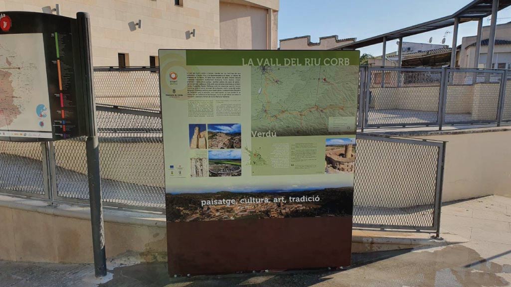
The River Corb valley route
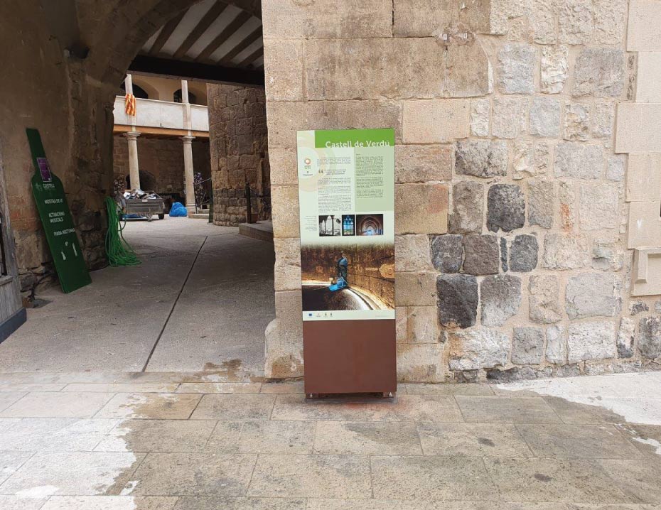
The Vall del Corb extends on either side of the River Corb, from its source, at Rauric, to where it flows into the River Segre, at Vilanova de la Barca. Throughout what is an environment of great natural interest, with typical Mediterranean scenery of olive trees, orchards, forests, vineyards, almond trees and many other crops, you will find a series of villages with stone-built houses and narrow streets. Each of these: Verdú, Ciutadilla, Maldà and Bellpuig, with their respective castles and towers, has a surprise in store for visitors: Guimerà has the beautiful shrine of La Bovera, which is very close to the village; Belianes and Preixana have Gothic and Renaissance-period houses; and Rocafort de Vallbona has its peculiar rock-house-castle. The route also has a connection, from Vallbona de les Monges, where you should not miss the opportunity to visit the Cistercian monastery of Santa Maria de Vallbona
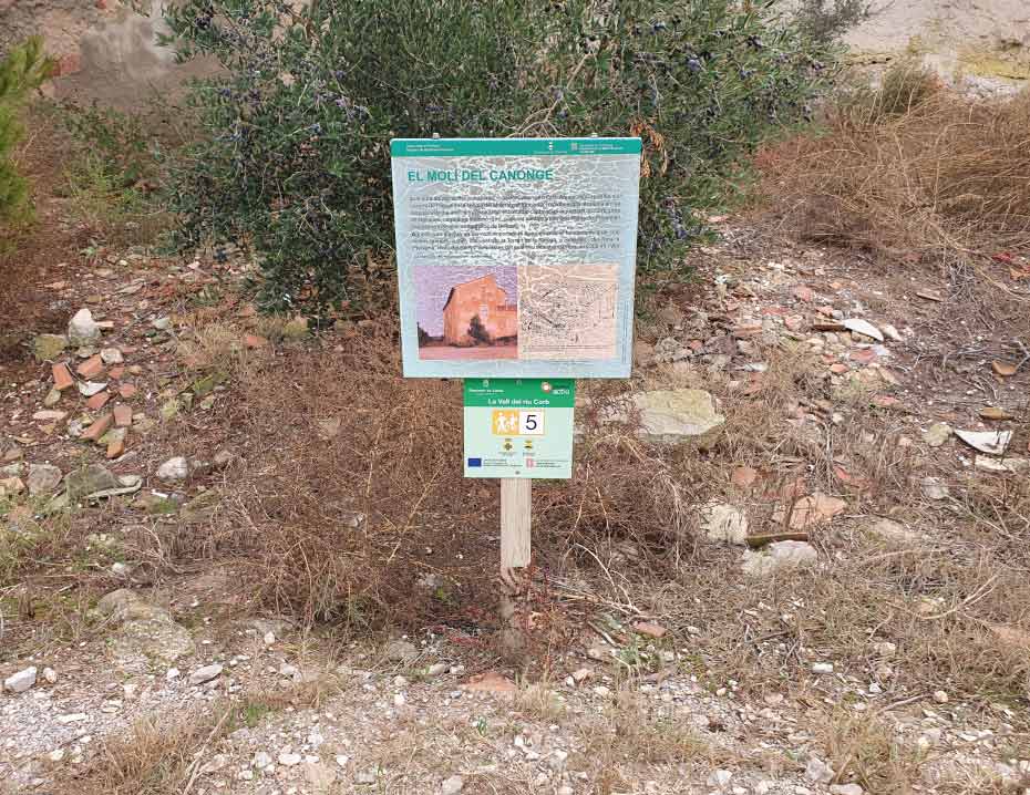
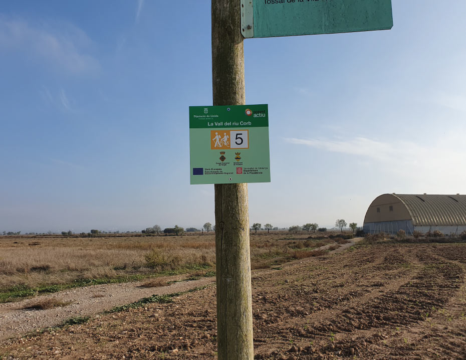
Along its 50 km length, the route follows the valley of the River Corb, an environment of great natural interest, which is dotted with villages, castles, towers, houses, churches and hermitages. The route crosses two protected spaces, those of Granyena and Secans de Belianes-Preixana. Both have been declared Zones d’Especial Protecció per a les Aus (Special Protection Areas for Birds) and form part of the Xarxa Natura 2000 network.
WITH THE SUPPORT OF

FUNDED BY


IN COLLABORATION WITH


