

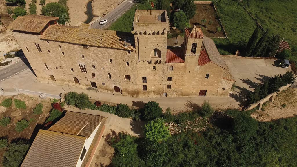
Routes through the Vall de Vinaixa
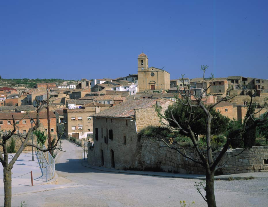
The VALL DE VINAIXA, the essence of Les Garrigues
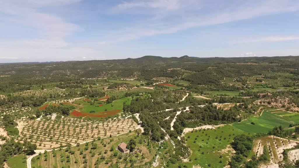
The Vall de Vinaixa is one of the five protected natural spaces in Les Garrigues, which is a large comarca (local district) with high, undulating landforms, various narrow gullies, broken plains and hills. The name of this comarca provides clues to its landscape: it refers to a type of holm oak which is characteristic of arid Mediterranean climates. Water is a scarce commodity in this area.
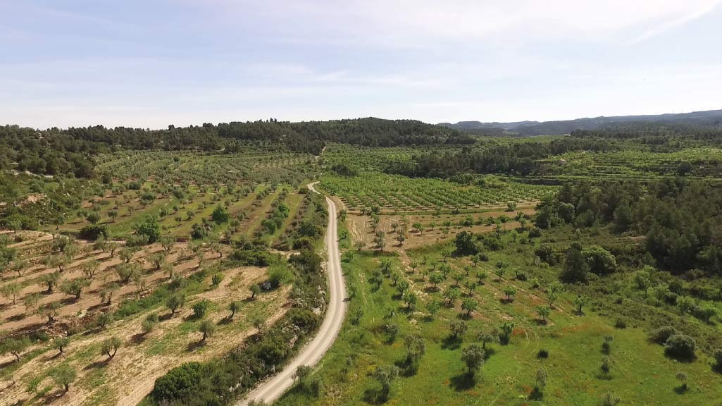
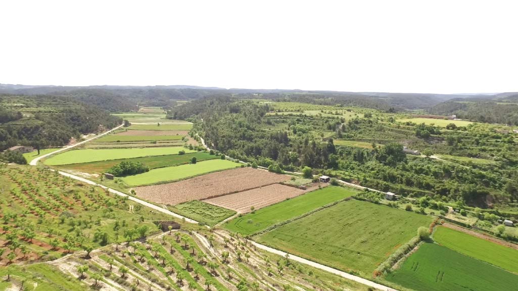
The current landscape is a mosaic of agriculture and forestry. Where there is no woodland, the main tree is that of the olive, with the most typical variety being that of the Arbequina. There are also almond trees and areas of cereal crops. It should not be forgotten that part of Les Garrigues is also irrigated by the waters of the Canal d 'Urgell. This has favoured the cultivation of alfalfa, maize and, above all, sweet-fruit trees.
The whole of the route, which starts from the Vall de Vinaixa, runs through this Espai d’interès Natural (Area of Natural Interest), which also forms part of the Xarxa Natura 2000 network. The most outstanding features that led to its protection were the presence of Bonelli's eagle, which is one of the most endangered species in the country, and examples flora and fauna associated with scrubland, brushwood and holm-oak groves.
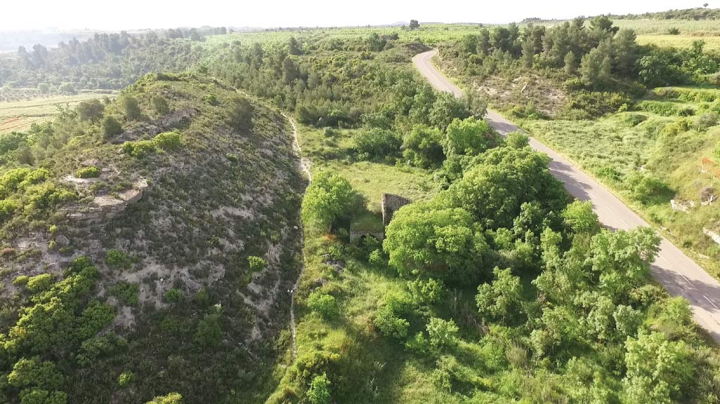
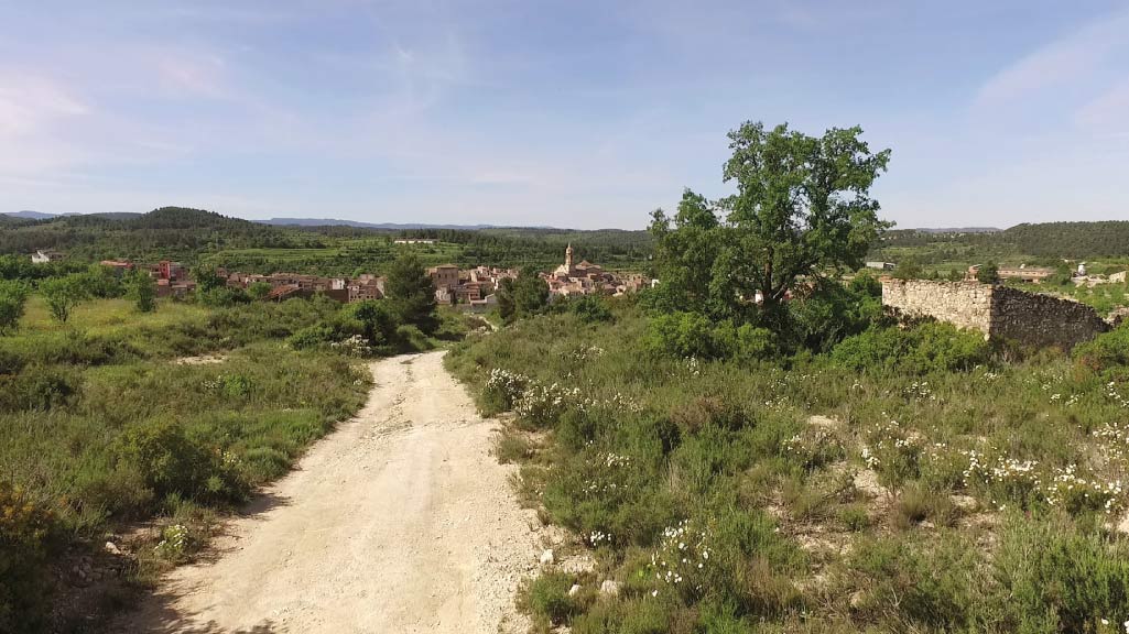
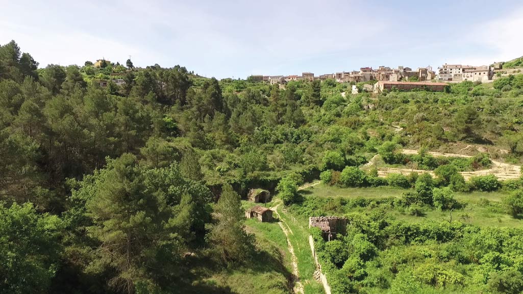
The route crosses several valley bottoms, running through white-pine woodlands, almond trees, olive trees, cereals and vineyards. At the same time, visitors can enjoy a series of panoramic views from the highest points.
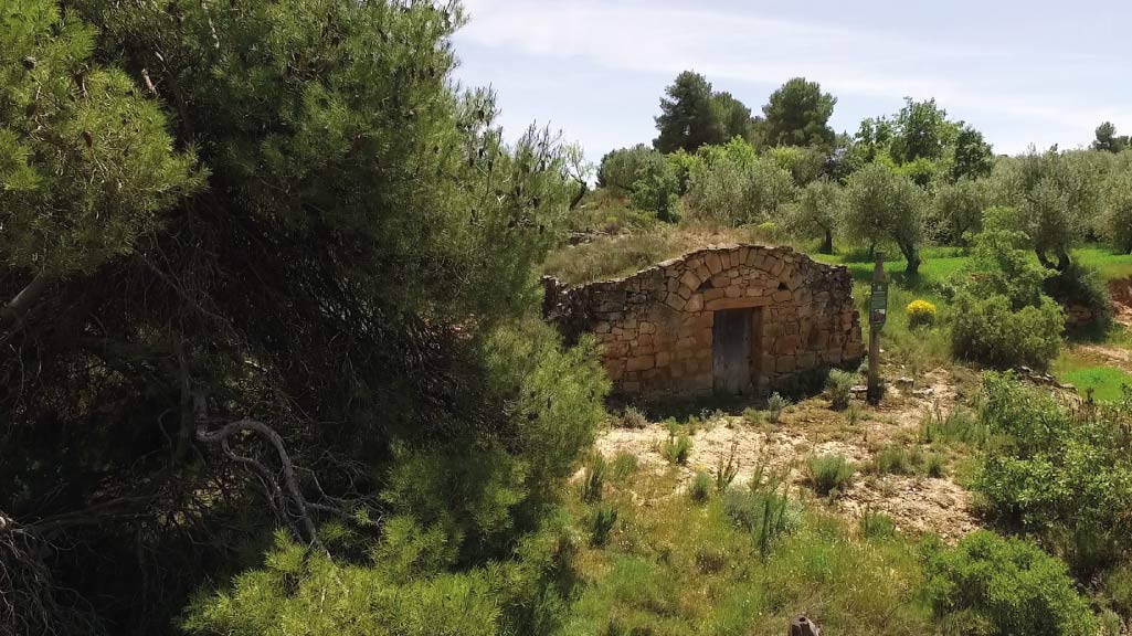
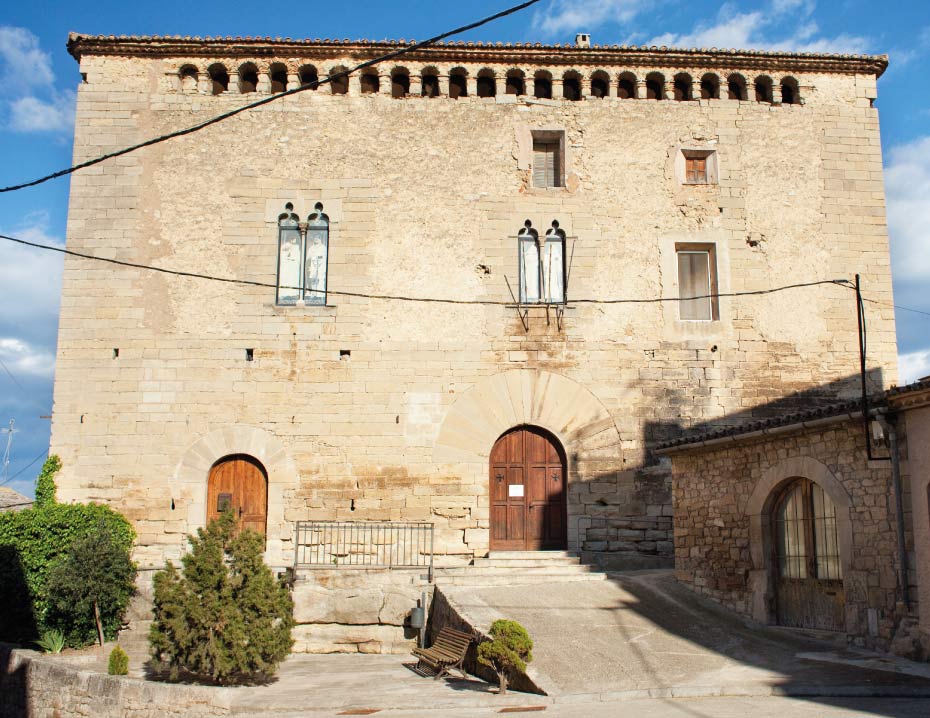
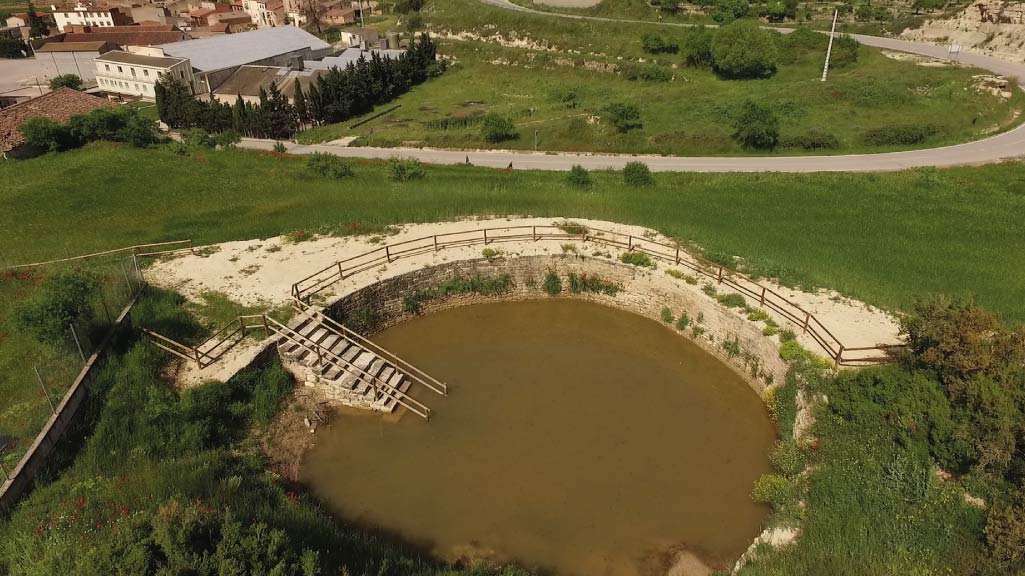
Dry-stone constructions are a constant feature of the landscape, with vaulted cabins being the maximum exponent of this popular form of architecture, but with also pools and deposits, boundary walls and terraces, shelters and windbreaks, all of which are built from only local stone, without any mortar.

WITH THE SUPPORT OF

FUNDED BY


IN COLLABORATION WITH


