

Routes along the River Set
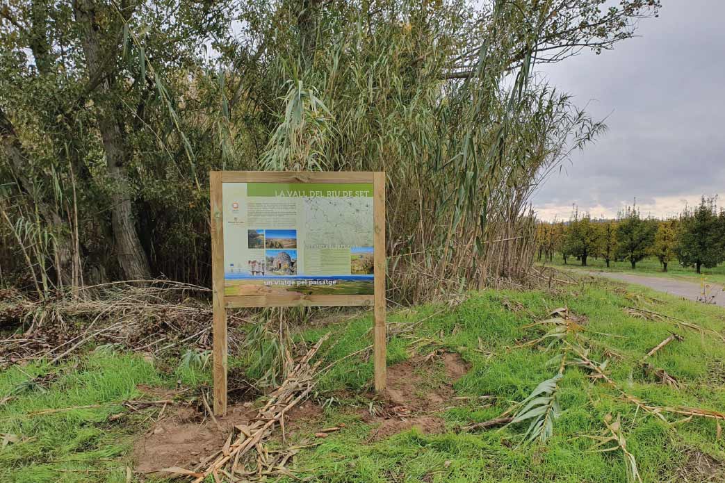
THE RIVER SET, a journey through the landscape
The River Set rises in Les Garrigues, in the heart of the la Llena uplands. It is the most important river in the comarca (local district), although the arid, continental climate means that it remains dry for much of the year. When it carries water, it flows through El Vilosell, La Pobla de Cérvoles, L’Albi, Cervià, L’Albagés and El Cogul, where it enters El Segrià and ends its course by joining the River Segre, at Sudanell.
Its main tributaries are the Albi, or Els Gorgs, stream and the Xeca and Melons valleys, on its right bank, and the Les Coves, Les Garrigues, and Vall de Colom gullies, La Sisquella stream, and Vall de Rec valley, on its left bank.
The River Set route takes visitors through a landcape that gradually transforms from brittle, Gaudí-like shapes, which are formed by hundreds of small plots and terraces that cling to the narrow gully bottoms, and the broken plains of the easternmost slope of Les Garrigues, to the wide, green horizons of the alluvial floodplain of the River Segre. This is a peaceful transition, throughout which the secrets of a territory that has been populated since time immemorial are gradually revealed: from the man-made landscapes, to the villages, chapels, mills, castles and archaeological sites that adorn the route. We must not forget to mention the natural space of Els Bessons, or the dryland habitat of Mas de Melons-Alfés, both of which are protected in order to preserve their high environmental value, which is associated with the presence of birds of prey, such as the Bonelli's eagle, the golden eagle, the eagle owl and numerous buzzards and kestrels.
Elements of interest
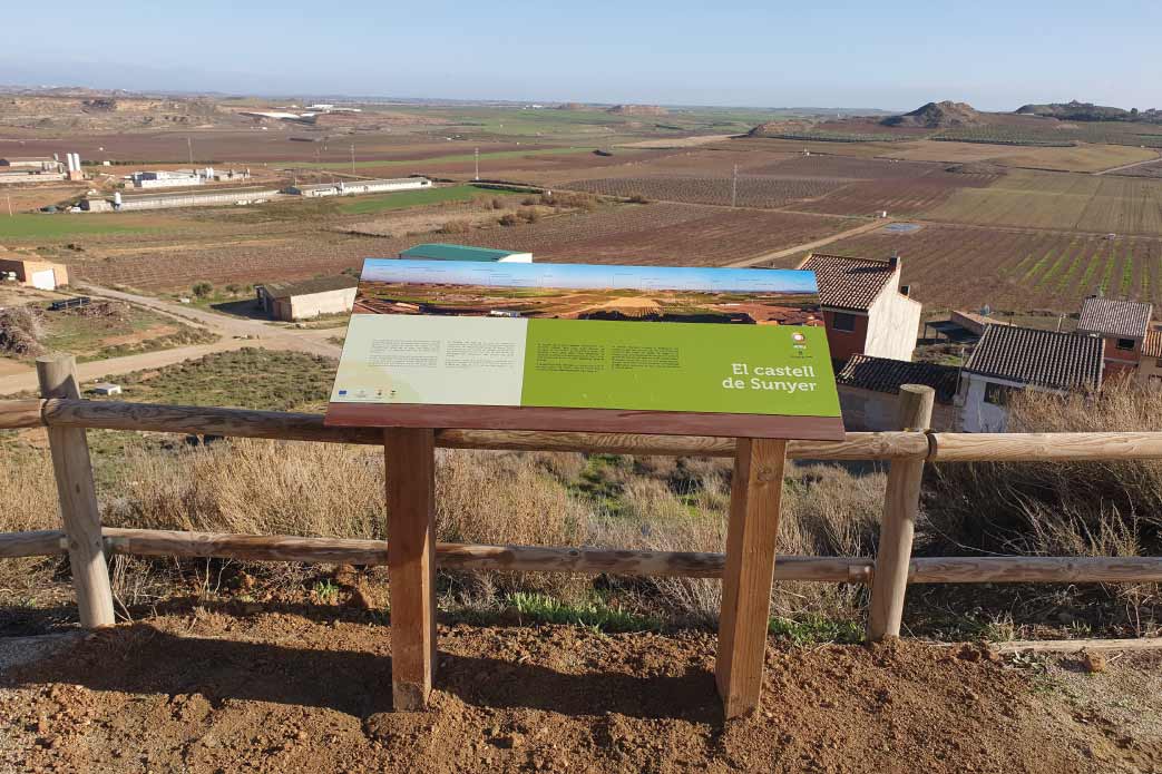
- Albagés castle
- Baroque-style churches
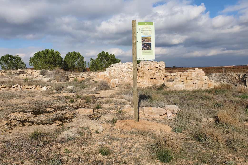
- The tombs of El Saladar
- the cave paintings of El Cogul and the Centre for Interpretation
- examples of popular architecture: water deposits, shelters and boundary walls
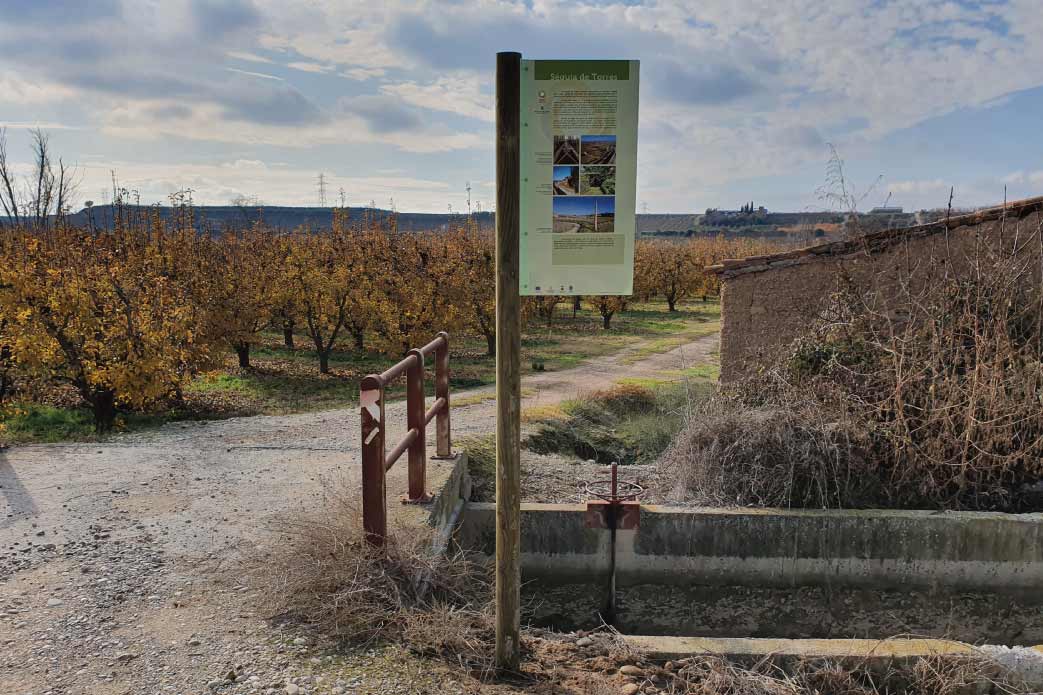
- mills, brick-kilns and structures related to the use and management of water
- the marshes of Montoliu
- the confluence of the rivers Set and Segre
- the natural space of Els Bessons
- the natural space of the drylands of Mas de Melons-Alfés
WITH THE SUPPORT OF

FUNDED BY


IN COLLABORATION WITH


