

The Segre-Cinca confluence routes
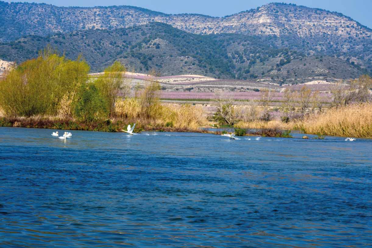
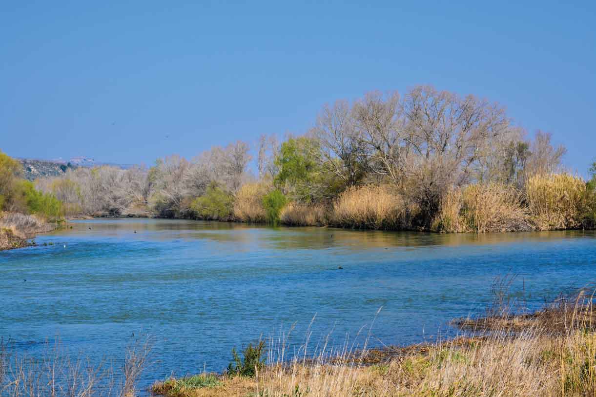
The Segre-Cinca river confluence is an eminently fluvial space and one of great interest. It begins where the River Cinca flows through La Granja d’Escarp and goes on until it joins the River Segre. It then follows the River Segre from the confluence until it passes through Seròs. This river confluence is very similar to that of the rivers Noguera Ribagorçana and Segre, with the main difference being that the Segre-Cinca confluence is much more continental in character. There is a very notable contrast between the lush vegetation along the riverbanks and the paler colours and dryer vegetation of the surrounding area. In addition to the splendid ecological state of the river, these conditions have created an area which is very representative of the natural aquatic and riparian systems of the Ebro depression. It presents both a great diversity of birdlife and also some interesting species of other wildlife.
Along this route, it is possible to find various elements and points of interest. These include:
- Itinerari de l‘Ebre [a signposted route along the banks of the River Ebro, at Almatret]
- Illa de l’Ebre [an artificial island in the River Ebro, at Almatret]
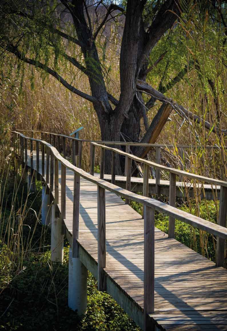
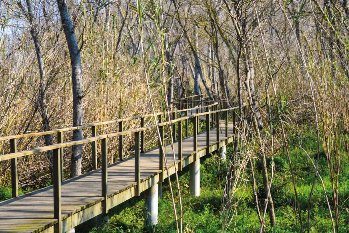
- Passera del Sòl de l'Horta, a footbridge in woodland on the riverbank [at La Granja d'Escarp]
- Passera del Galatxo del Cinca [at the Massalcoreig pool]
- Illa dels Martinets vantage point, looking out over the Mitjana de Riols [at La Granja d'Escarp]
- Torre de Guaita (watchtower) overlooking the River Cinca [at Massalcoreig]
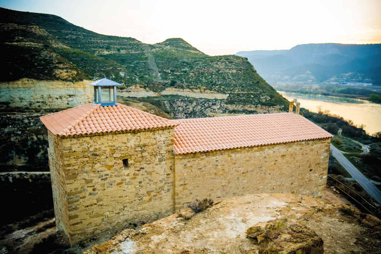
- Torre dels Sons [at Seròs]
The routes found here are:
1. The route from the Segre-Cinca river confluence to the information point at Utxesa (within the Secans del Segrià area). This is a route runs from the end of the current signposted route, starting at the river confluence, to the Francesc Macià bridge (C-45). It follows the River Segre via rural paths that run close to its left bank until it reaches Aitona, where it breaks off and heads towards the areas near the Bel and Simó reservoir. From there, the route follows rural roads until it reaches the information point at Utxesa.
2. Routes around the Aiguabarreig-La Granja d’Escarp and Montmaneu. These routes start from, and end at, La Granja d'Escarp. It is possible to combine them with others and to visit various points of interest, related to both the river confluence and the drylands.
WITH THE SUPPORT OF

FUNDED BY


IN COLLABORATION WITH


