

The Castellserà-Agramunt route
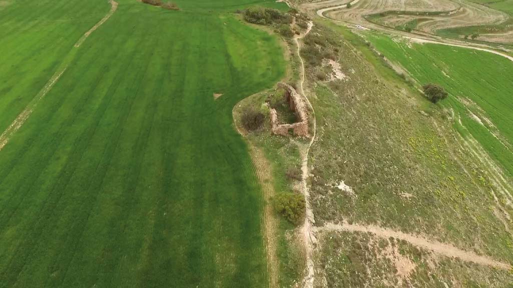
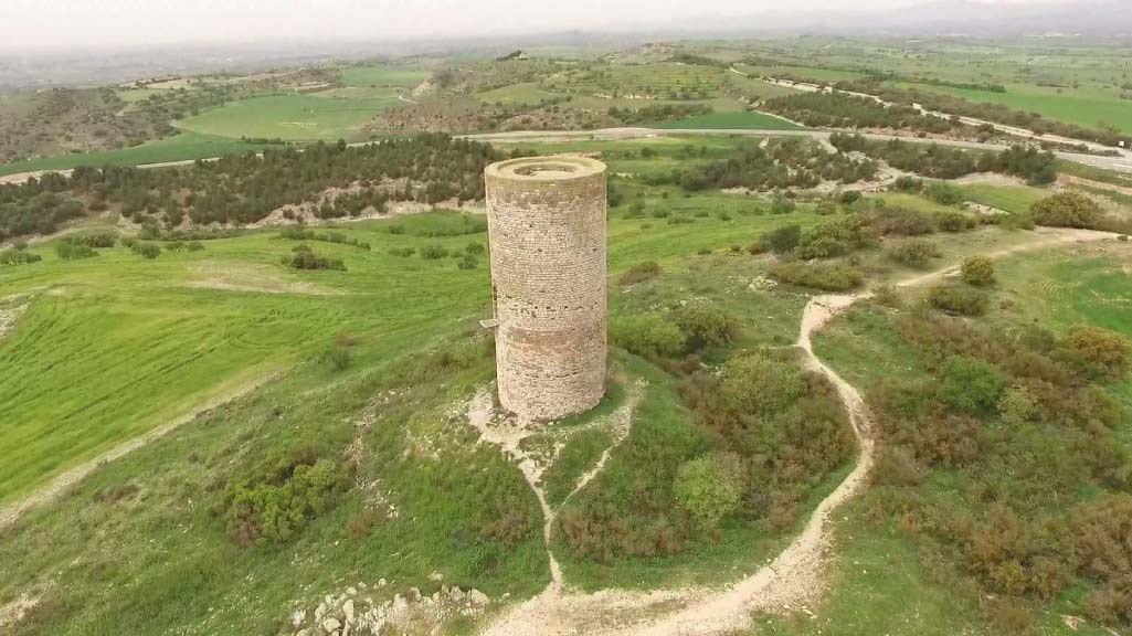
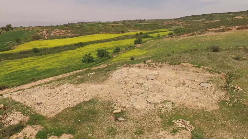
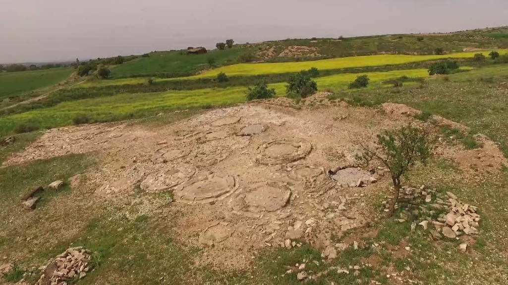
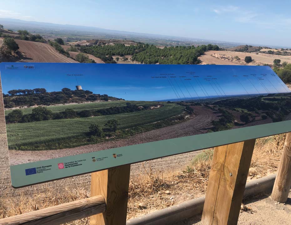
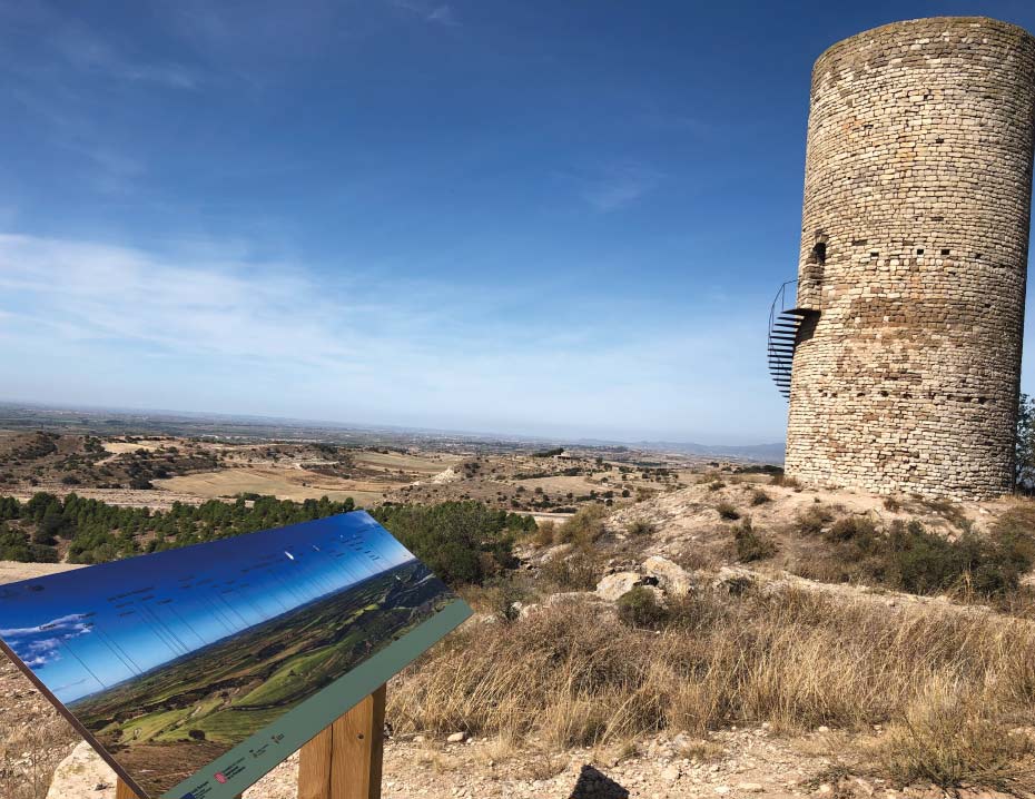
This is a linear route from Agramunt to Castellserà, which passes the Pilar d'Almenara, one of the most emblematic points on the Bellmunt-Almenara ridge, from where it is possible to observe the characteristic geology of the area. It is also possible to observe natural species which are typical of what is basically a steppe landscape, including areas of thyme, the golden eagle and the little bustard. During the trip, it will also be possible to find unique elements which are typical of local popular architecture, such as dry-stone boundary walls and vaulted shelters. It is also possible to note the transformation of the landscape that took place after 1862, with the arrival of irrigation water, following the construction of the Canal d'Urgell.
This major hydraulic infrastructure boosted the economy of this territory while transforming the landscape of the plain. It led to the spontaneous appearance of riverside tree species such as poplars and willows. At the same time, long lines of other trees were also planted, such as the plane and ash trees which now line the watercourses.
The fact that the Bellmunt-Almenara ridge was not irrigated has made it a singular element. It is unique within the territory and key to the conservation of the valuable heritage represented by the dryland areas and all their associated species. For this reason, the Bellmunt-Almenara ridge forms part of Catalonia's Pla d'Espais d'Interès Natural (PEIN - Plan for Areas of Natural Interest) and the Xarxa Natura 2000 network and has been declared a Lloc d'Interès Comunitar (LIC - Site of Community Interest) and a Zona d'Especial Protecció d'Aus (ZEPA - Special Area for Bird Protection).
The route begins at Agramunt and follows a trajectory which forms part of the Camins de Riella (droving routes). From the Pilar d'Almenara, it then continues on to Castellserà, via the Aiguader bridge. It follows the ridge, with the Ribera del Sió on one side and the Urgell plain on the other.
WITH THE SUPPORT OF

FUNDED BY


IN COLLABORATION WITH


